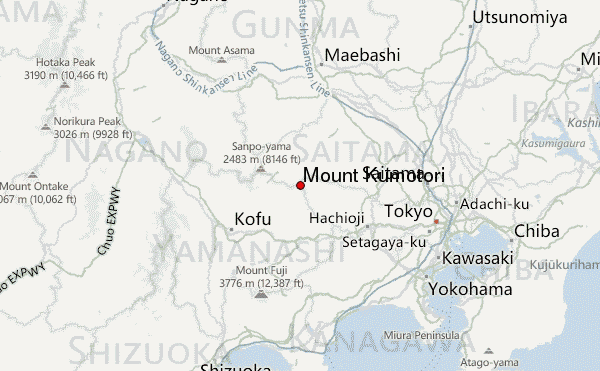
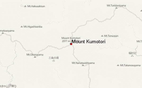
Mount Kumotori mountain guide
- Elevation: 2017 m
- Difficulty:
- Best months to climb:
- Convenient center:
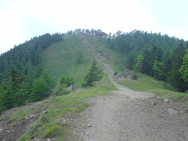
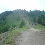
Mount Kumotori Climbing Notes
Tushar from INDIA writes:
Hi, I am a mountain climber & visiting in Japan from 10th Sept to 20th Sept. Would love to go up to summit of great Mt. Fuji.
I am in TOKYO-Shinjuku area for all 10 days need your inputs @ best way to travel .
What should I carry & shouldn't.
Can I go alone with friend or need to go with travel help?
What is total time required? Travel(Shinjuku to Mt.Fuji base & back ...which type of transport mode will be best ) & climbing time?
2014-08-30 |
Click here to submit your own climbing note for Mount Kumotori
|
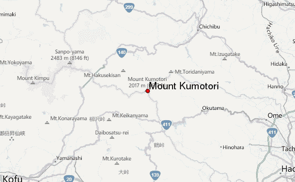
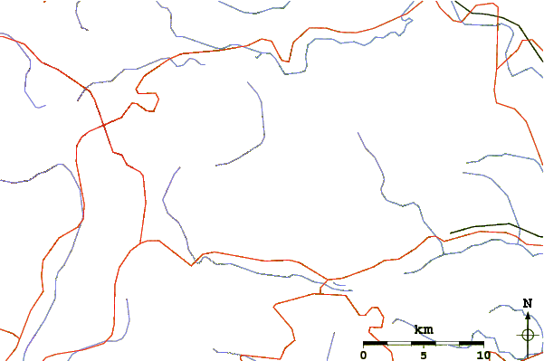
Select Mount Kumotori Location Map Detail:
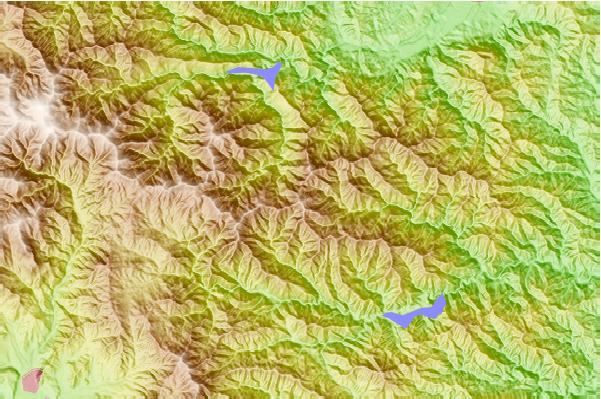
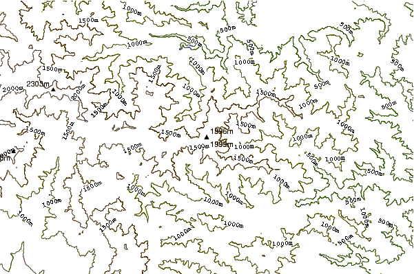
Use this relief map to navigate to mountain peaks in the area of Mount Kumotori.
10 other mountain peaks closest to Mount Kumotori:
 Mount Kumotori – Climbing, Hiking & Mountaineering information
 Like us
 Follow us
