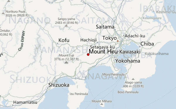
Mount Hiru Guide
- Elevation: 1673
- Difficulty: -
- Best months to climb: -
- Convenient center: -
Mount Hiru climbers Notes
Bahar from JAPAN writes:
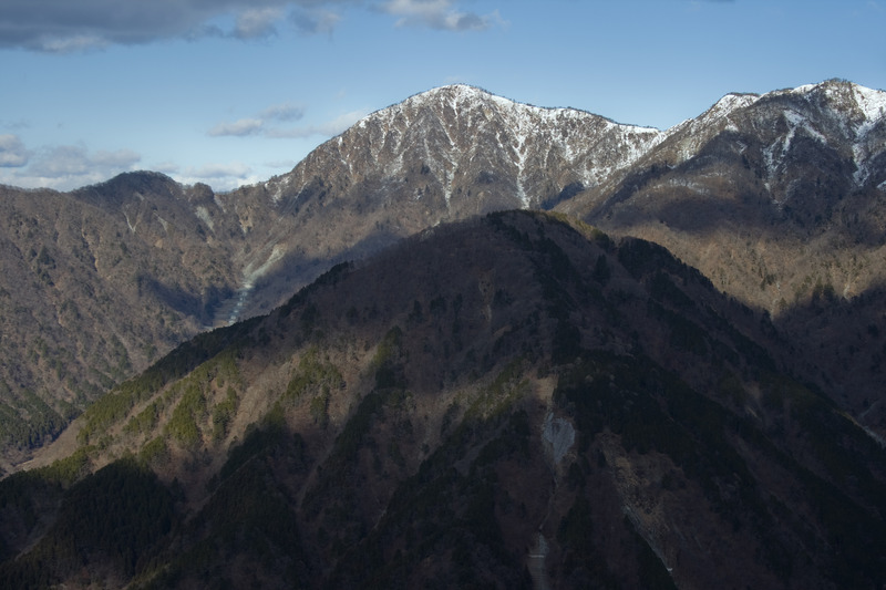
It is entirely possible to climb from the Bus Stop to the summit of Mount Hirugatake in one day. Beware of leeches when heading up to Tou-do-Nake! Great Udon on Nabewari (I descended VIA Nabewari) But EXTREMELY steep. Very tiresome. I would rate it a 4/5 and it was one hour descent followed by a 6 km road which was really easy. The hut on Hiru has amazing food, I went during rainy season and got lucky with an amazing view.
2015-08-19 |
Click here to submit your own climbing note for Mount Hiru
|
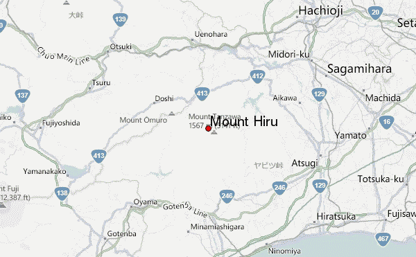
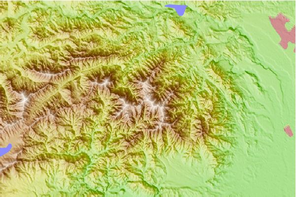
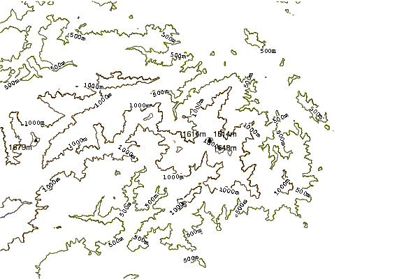
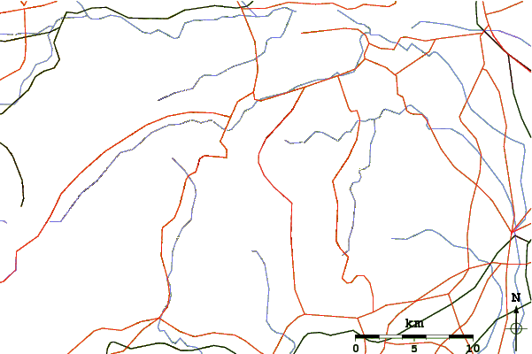
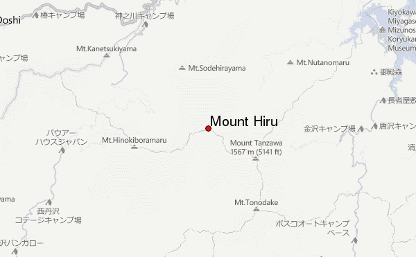
Select Mount Hiru Location Map Detail:
Use this relief map to navigate to mountain peaks in the area of Mount Hiru.
10 other mountain peaks closest to Mount Hiru:
 Mount Hiru – Climbing, Hiking & Mountaineering information
