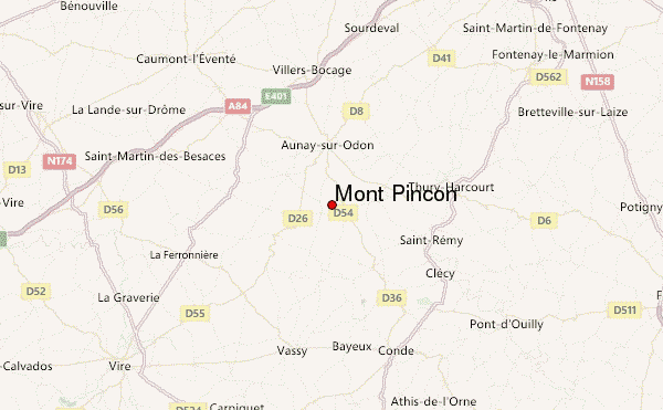
– Lat/Long: 48.97° N 0.63° W
 Mont Pinçon – Climbing, Hiking & Mountaineering information
Mont Pinçon – Climbing, Hiking & Mountaineering information
Mont Pinçon mountain guide
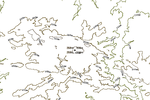
- Elevation: 362 m
- Difficulty:
- Best months to climb:
- Convenient center:
Mont Pinçon Climbing NotesBe the first to submit your climbing note! Please submit any useful information about climbing Mont Pinçon that may be useful to other climbers. Consider things such as access and accommodation at the base of Mont Pinçon, as well as the logistics of climbing to the summit. |
| Select a
mountain summit from the menu |
||
|
Select a Mountain Summit
|
||
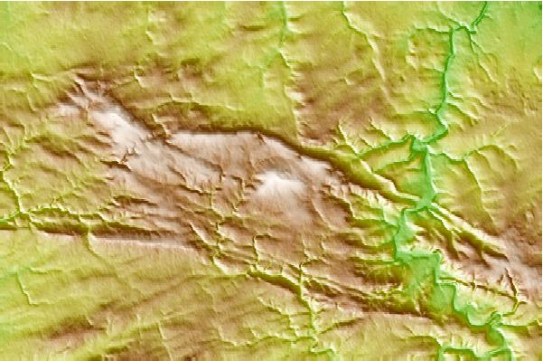
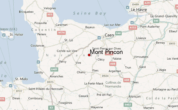
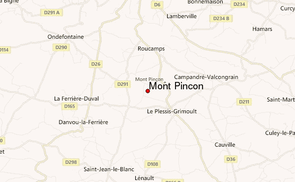
Use this relief map to navigate to mountain peaks in the area of Mont Pinçon.
10 other mountain peaks closest to Mont Pinçon:
| 1. | Rock of Oëtre (118 m) | 22.9 km |
| 2. | St Boniface Down (Isle of Wight) (241 m) | 186.2 km |
| 3. | St. Catherine's Down (Isle of Wight) (237 m) | 187.0 km |
| 4. | Stenbury Down (Isle of Wight) (226 m) | 188.2 km |
| 5. | Culver Down (Isle of Wight) (104 m) | 191.9 km |
| 6. | Brading Down (123 m) | 193.9 km |
| 7. | Brighstone Down (Isle of Wight) (214 m) | 195.8 km |
| 8. | Westover Down (Isle of Wight) (203 m) | 196.7 km |
| 9. | Tennyson Down (Isle of Wight) (147 m) | 199.8 km |
| 10. | Ballard Down (162 m) | 208.2 km |
 Like us
 Follow us
