St Boniface Down (Isle of Wight) mountain guide
- Elevation: 241 m
- Difficulty:
- Best months to climb:
- Convenient center:
St Boniface Down (Isle of Wight) Climbing Notes
mark francis from UNITED KINGDOM writes:
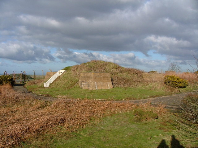
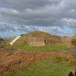
This is accessible by road from Lowtherville but I would suggest a pleasant expedition would be from Shanklin Old Church which you can reach from Shanklin Railway Station via back streets to Pomona Road. Either head across Shanklin Common or along the tree covered Manor Road until you reach St Blazius Old Church. A footpath leads straight through the churchyard and over a style at the back. It goes across an open field and through Wroxall Copse. Its a fair climb but probably less strenuous than up the south face from Ventnor. When you reach the top there is a track. To the right it leads to St Martins Down and down to Wroxall. To the left it goes along the ridge over Shanklin Down and on to St Boniface. The ancient tumulus at the corner of the road to the radar Station is a good picnic spot. You can come down a number of routes and footpaths behind the radar station. The station was attacked by Stukas in 1940, but the attack was only partially successful after they were counter attacked by Hurricanes. This is depicted in the film "Battle of Britain"
In 1546 the French invaded with forces landing at Seaview, Bembridge and Ventnor. The French from Ventnor scaled the southern face in an attempt to link up. They were defeated and forced to surrender by IOW militia forces, which some say included women archers who counter attacked from the summit.
You can return to Shanklin by linking up to the Coastal Path along the Landslip via Luccombe. There are tea rooms at Smugglers Haven and Dunnose Cottage.
2013-03-30 |
Click here to submit your own climbing note for St Boniface Down (Isle of Wight)
|

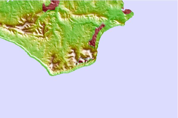
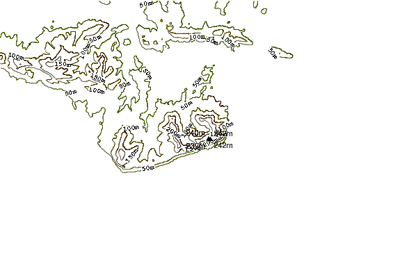
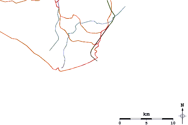
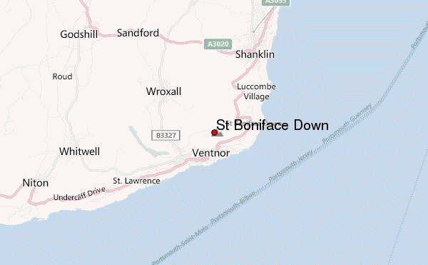
Select St Boniface Down (Isle of Wight) Location Map Detail:
Use this relief map to navigate to mountain peaks in the area of St Boniface Down (Isle of Wight).
10 other mountain peaks closest to St Boniface Down (Isle of Wight):
 St Boniface Down (Isle of Wight) – Climbing, Hiking & Mountaineering information
 Like us
 Follow us
