– Lat/Long: 45.57° N 71.68° W
 Mont Chapman – Climbing, Hiking & Mountaineering information
Mont Chapman – Climbing, Hiking & Mountaineering information
Mont Chapman mountain guide
- Elevation: 658 m
- Difficulty:
- Best months to climb:
- Convenient center:
Mont Chapman Climbing NotesBe the first to submit your climbing note! Please submit any useful information about climbing Mont Chapman that may be useful to other climbers. Consider things such as access and accommodation at the base of Mont Chapman, as well as the logistics of climbing to the summit. |

| Select a
mountain summit from the menu |
||
|
Select a Mountain Summit
|
||
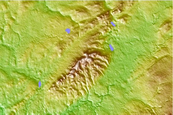
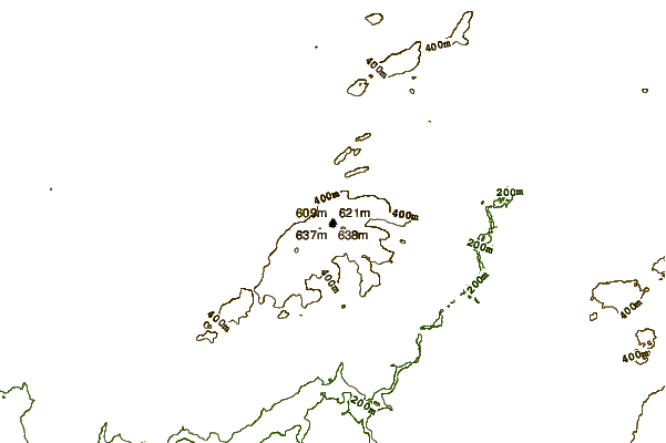
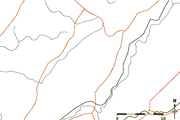
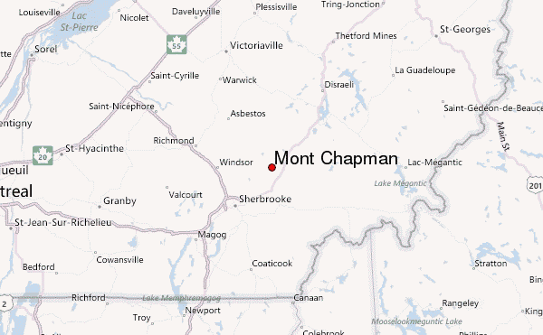
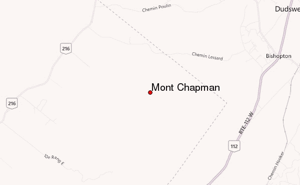
Use this relief map to navigate to mountain peaks in the area of Mont Chapman.
10 other mountain peaks closest to Mont Chapman:
| 1. | Mont Ham (713 m) | 24.6 km |
| 2. | Mont Mégantic (1102 m) | 43.1 km |
| 3. | Earth Peoples Park (389 m) | 64.5 km |
| 4. | Mount Gosford (1180 m) | 70.1 km |
| 5. | Gore Mountain (Vermont) (1016 m) | 73.1 km |
| 6. | Boundary Peak (Maine) (1175 m) | 73.7 km |
| 7. | Monadnock Mountain (Vermont) (959 m) | 75.8 km |
| 8. | White Cap Mountain (Franklin County, Maine) (1175 m) | 77.0 km |
| 9. | Kennebago Divide (1151 m) | 77.8 km |
| 10. | Snow Mountain (Oxford County, Maine) (1153 m) | 80.3 km |

 Like us
 Follow us
