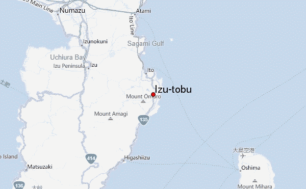
– Lat/Long: 34.92° N 139.12° E
 Izu-tobu – Climbing, Hiking & Mountaineering information
Izu-tobu – Climbing, Hiking & Mountaineering information
Izu-tobu mountain guide
- Elevation: 1406 m
- Difficulty:
- Best months to climb:
- Convenient center:
Izu-tobu Climbing NotesBe the first to submit your climbing note! Please submit any useful information about climbing Izu-tobu that may be useful to other climbers. Consider things such as access and accommodation at the base of Izu-tobu, as well as the logistics of climbing to the summit. |
| Select a
mountain summit from the menu |
||
|
Select a Mountain Summit
|
||
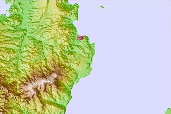
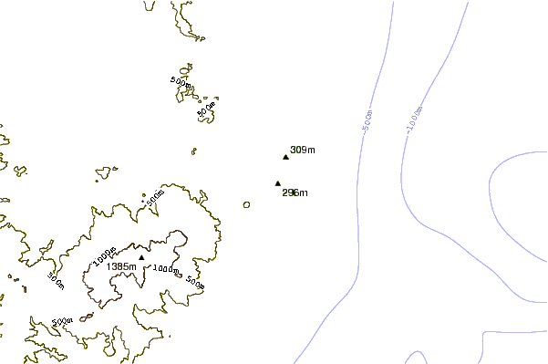
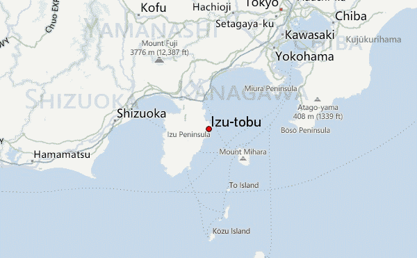
Use this relief map to navigate to mountain peaks in the area of Izu-tobu.
10 other mountain peaks closest to Izu-tobu:
| 1. | Mount Amagi (1406 m) | 12.5 km |
| 2. | Mount Mihara (764 m) | 33.3 km |
| 3. | Hakone (1438 m) | 36.0 km |
| 4. | Mount Ashigara (1212 m) | 42.5 km |
| 5. | Mount Ōyama (Kanagawa) (1252 m) | 58.9 km |
| 6. | Mount Tō (1491 m) | 59.0 km |
| 7. | Mount Shindainichi (1340 m) | 59.3 km |
| 8. | Fuji-san (3776 m) | 59.6 km |
| 9. | Mount Tanzawa (1567 m) | 61.8 km |
| 10. | Mount Hiru (1673 m) | 63.1 km |
 Like us
 Follow us
