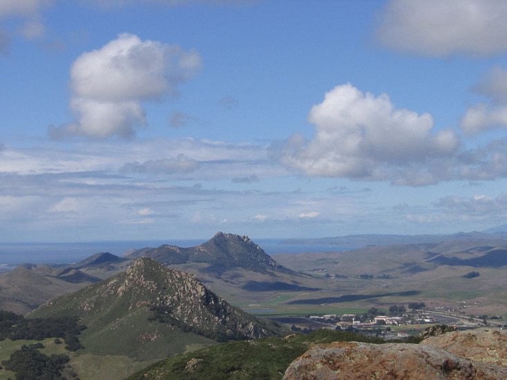
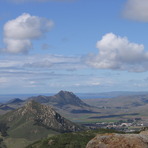
Hollister Peak mountain guide
- Elevation: 430 m
- Difficulty:
- Best months to climb: No access
- Convenient center:
Hollister Peak Climbing Notes
Mike Warnick from UNITED STATES writes:
Supposedly illegal and on private property, yes. But worth the climb. Worst case scenario is a civil citation by the Sheriff dept. *if anyone catches you. Do not park on Turri rd. This is a tell to local landowner that someone may be attempting a climb. Get someone to drop you off or stash a bike in the bushes by the Los Osos eco preserve that shows up on Google maps. Head up preferably several hours before daylight on a full moon night. There are game cams set up for monitoring so....
Good luck. It's worth it!
2022-04-22 |
Click here to read 4 more climbing notes for Hollister Peak or submit your own
|
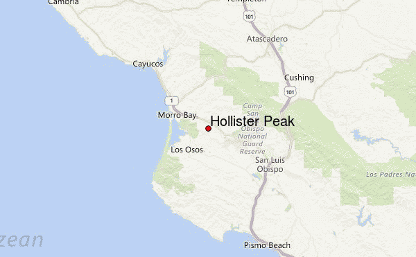
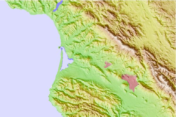
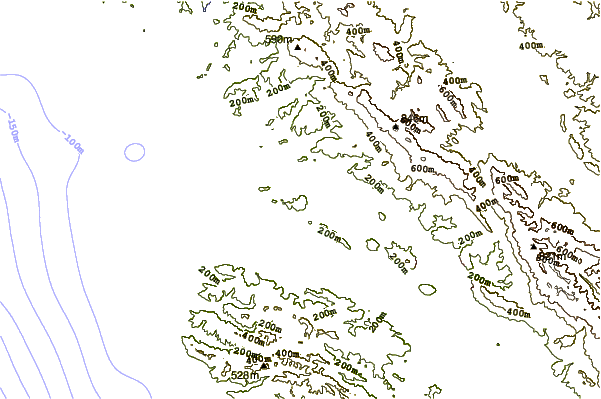
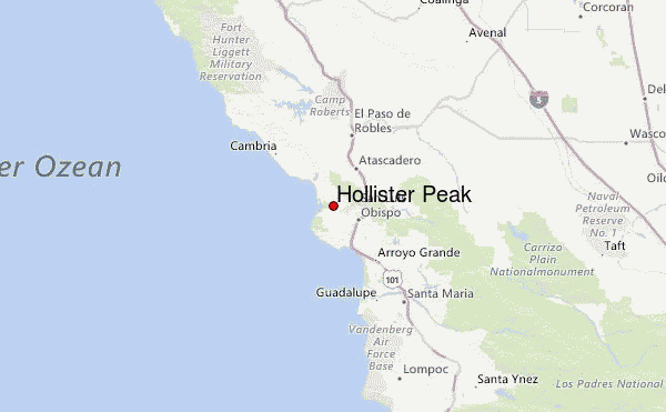
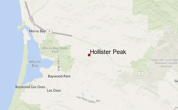
Select Hollister Peak Location Map Detail:
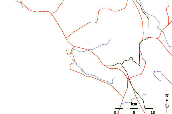
Use this relief map to navigate to mountain peaks in the area of Hollister Peak.
10 other mountain peaks closest to Hollister Peak:
 Hollister Peak – Climbing, Hiking & Mountaineering information
 Like us
 Follow us
