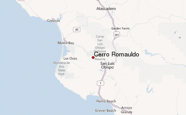
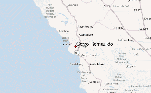
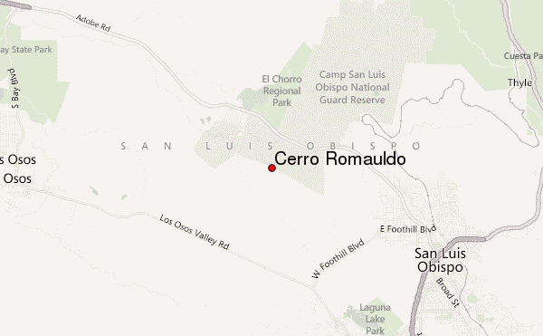
– Lat/Long: 35.31° N 120.73° W
 Cerro Romauldo – Climbing, Hiking & Mountaineering information
Cerro Romauldo – Climbing, Hiking & Mountaineering information
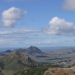
Cerro Romauldo mountain guide
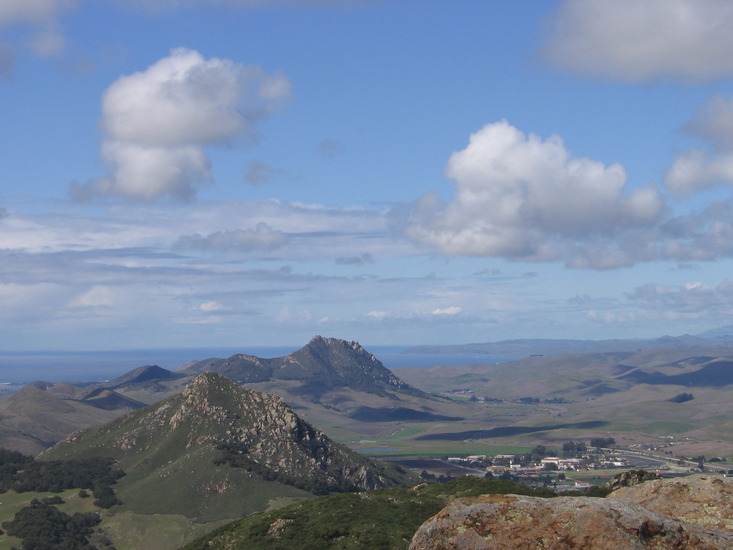
- Elevation: 396 m
- Difficulty:
- Best months to climb:
- Convenient center:
Cerro Romauldo Climbing Notes
Click here to submit your own climbing note for Cerro Romauldo |
| Select a
mountain summit from the menu |
||
|
Select a Mountain Summit
|
||
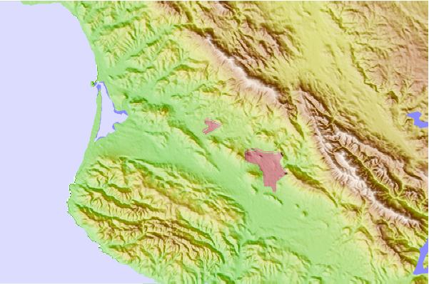
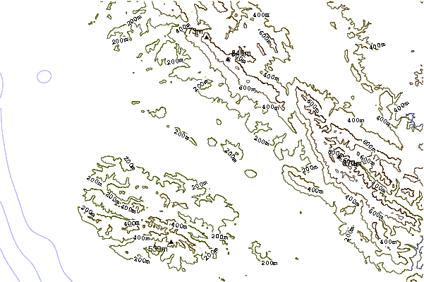
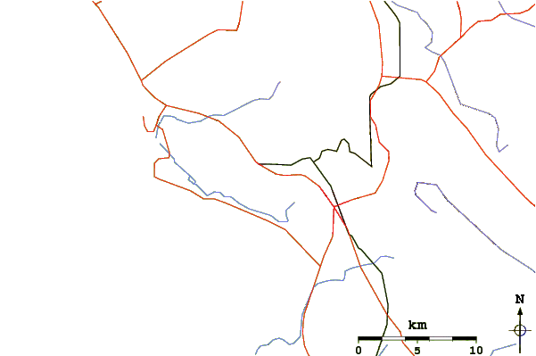
Use this relief map to navigate to mountain peaks in the area of Cerro Romauldo.
10 other mountain peaks closest to Cerro Romauldo:
| 1. | Chumash Peak (386 m) | 2.0 km |
| 2. | Bishop Peak (California) (471 m) | 3.0 km |
| 3. | Cerro San Luis Obispo (394 m) | 5.5 km |
| 4. | Hollister Peak (430 m) | 6.4 km |
| 5. | Cerro Cabrillo (278 m) | 9.0 km |
| 6. | Black Hill (California) (202 m) | 10.8 km |
| 7. | Islay Hill (176 m) | 12.2 km |
| 8. | Morro Rock (177 m) | 14.2 km |
| 9. | Tierra Redonda Mountain (631 m) | 56.0 km |
| 10. | Table Mountain (Kings County, California) (1059 m) | 77.5 km |
 Like us
 Follow us
