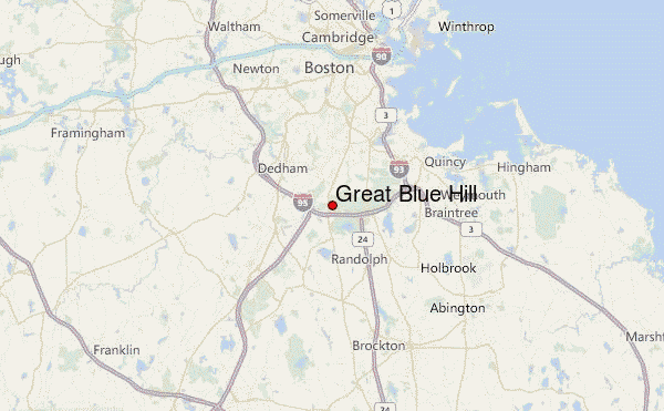
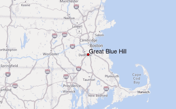
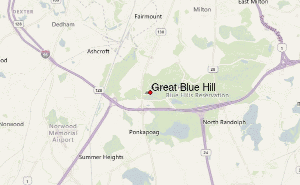
– Lat/Long: 42.21° N 71.11° W
 Great Blue Hill – Climbing, Hiking & Mountaineering information
Great Blue Hill – Climbing, Hiking & Mountaineering information
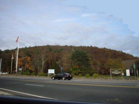
Great Blue Hill mountain guide
- Elevation: 193 m
- Difficulty:
- Best months to climb:
- Convenient center:
Great Blue Hill Climbing NotesBe the first to submit your climbing note! Please submit any useful information about climbing Great Blue Hill that may be useful to other climbers. Consider things such as access and accommodation at the base of Great Blue Hill, as well as the logistics of climbing to the summit. |
| Select a
mountain summit from the menu |
||
|
Select a Mountain Summit
|
||
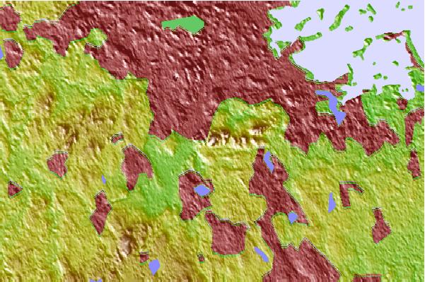
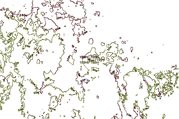
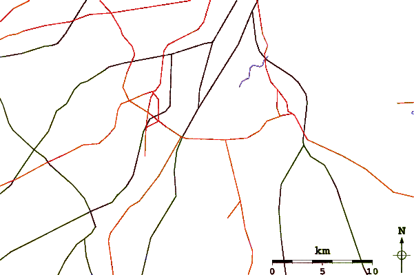
Use this relief map to navigate to mountain peaks in the area of Great Blue Hill.
10 other mountain peaks closest to Great Blue Hill:
| 1. | Waitt's Mountain (213 m) | 24.9 km |
| 2. | Nobscot Hill (600 m) | 31.4 km |
| 3. | Holt Hill (128 m) | 46.9 km |
| 4. | Mount Pisgah (Massachusetts) (715 m) | 48.0 km |
| 5. | Dexter Drumlin (95 m) | 54.0 km |
| 6. | Jerimoth Hill (247 m) | 68.2 km |
| 7. | Crow Hills (376 m) | 70.6 km |
| 8. | Wachusett Mtn (611 m) | 70.7 km |
| 9. | Mount Jefferson (Massachusetts) (372 m) | 82.3 km |
| 10. | Mount Watatic (558 m) | 83.7 km |
 Like us
 Follow us
