Mount Watatic mountain guide
- Elevation: 558 m
- Difficulty:
- Best months to climb:
- Convenient center:
Mount Watatic Climbing Notes
Mamabee from UNITED STATES writes:
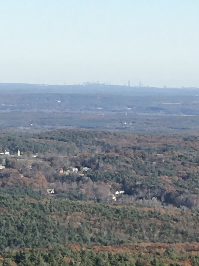
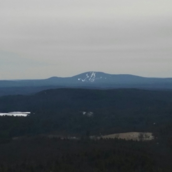
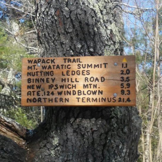
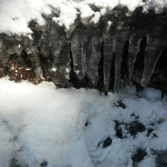
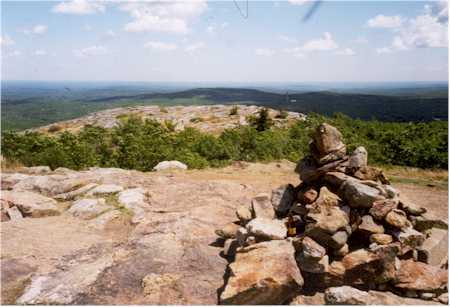
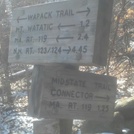
I hiked to the summit of Mount Watatic on Saturday, March 5th. I parked at the 119 lot which was crowded and climbed the Wapack trail. It was flooded at the base and hikers rock hopped across. Going up, the trail was often a thick sheet of ice so I hiked to the side of the trail "in the woods". The summit was dry, bare rock and since it was a clear, sunny day, the views were spectacular. I enjoyed both the actual summit and the second summit. There were about a dozen people at the top including some kids and dogs so not as serene as I'd hoped but everyone was friendly and enjoying the day. After a quick lunch, I continued on the Wapack Trail where it intersected the State Line Trail - the sign read .4 miles to NH so I hiked over the state line and then back to Wapack. I crossed over Notting Hill and descended on the Midstate Trail which was not as steep, no sheets of ice but was muddy in areas, to the 119 lot. The loop is about 4 miles and I added on an extra mile by taking the trail over the state line and back. This hike is not difficult (other than the seasonal sheets of ice) and I feel comfortable taking my children with me next time. :)
2016-03-07 |
Click here to submit your own climbing note for Mount Watatic
|

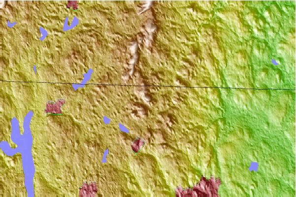
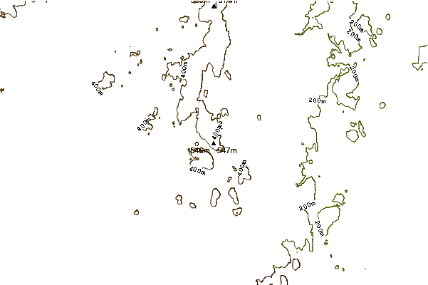
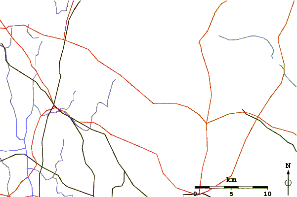
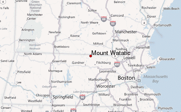
Select Mount Watatic Location Map Detail:
Use this relief map to navigate to mountain peaks in the area of Mount Watatic.
10 other mountain peaks closest to Mount Watatic:
 Mount Watatic – Climbing, Hiking & Mountaineering information


 Like us
 Follow us
