Goverla mountain guide
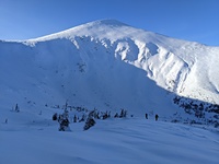
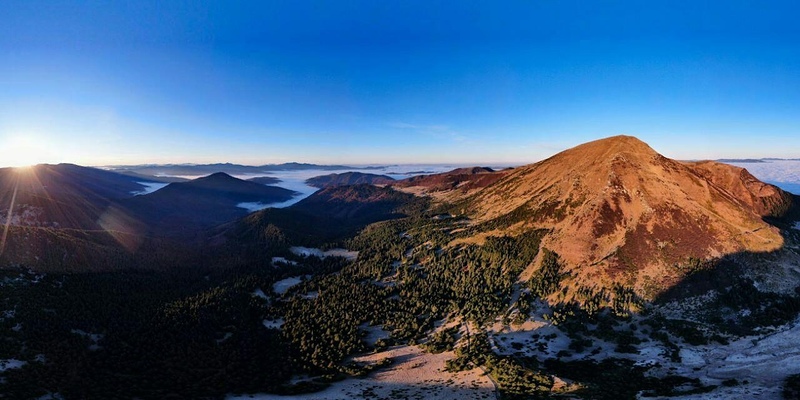
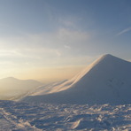
Goverla
Photo credit: Stanislav Muzyria

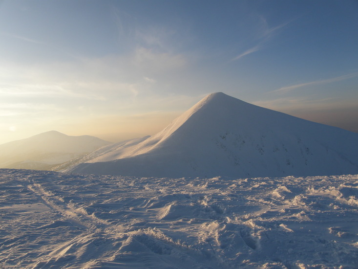
Goverla
Photo credit: Stanislav Muzyria

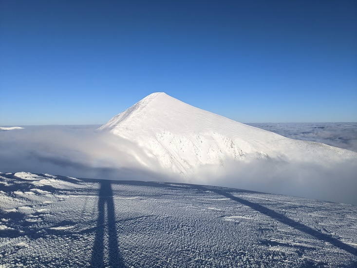
Goverla
Photo credit: ukrainian-travel.com
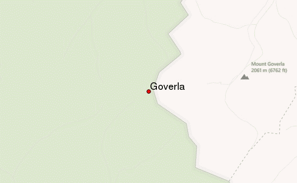
- Elevation: 2061 m
- Difficulty: Walk up
- Best months to climb: July
- Convenient center: Vorohta
Goverla Climbing Notes
Slava from UKRAINE writes:
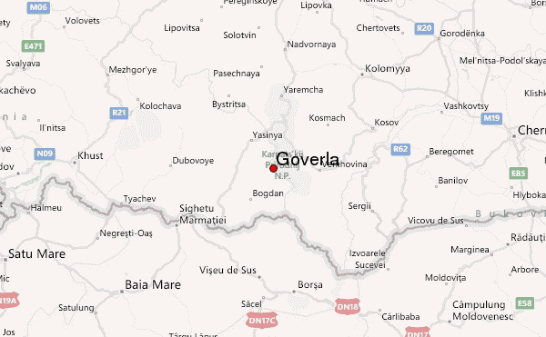
Goverla is the highest mountain of Ukraine. It looks like a green or white pyramid You can go to Goverla from 3 sides. The closest is from Zaroslyak parking stop/Hotel. Ascent is around 2-4 h; maximum 45 degrees slope; descent along the same way and it is quite hard. In winter ice axe is needed. Others sides to get to the summit are interesting for those who hike for several days. Western side from Mount Petros and South Eastern side from Nesamovite lake. Distance from Zaroslyak to Ivano-Frankivsk (the regional center with train station and airport) is around 100 km away. Public transportation is available in Vorokhta 22km from Zaroslyak
I am a local guide who organize hiking tours in Carpathinas and all around the world, from 1 to 6 days (Carpathians) gorgany@rambler.ru +30673428407
2016-11-15 |
Click here to read 1 more climbing note for Goverla or submit your own
|
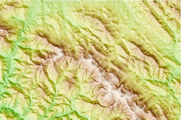
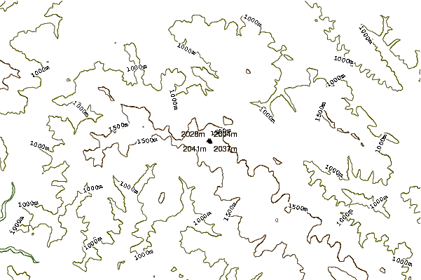
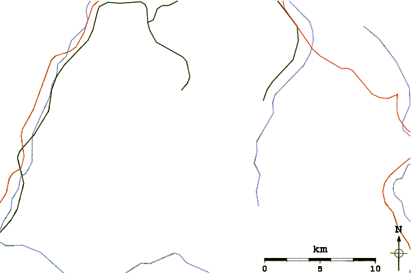
Select Goverla Location Map Detail:
Use this relief map to navigate to mountain peaks in the area of Goverla.
10 other mountain peaks closest to Goverla:
 Goverla – Climbing, Hiking & Mountaineering information

 Like us
 Follow us
