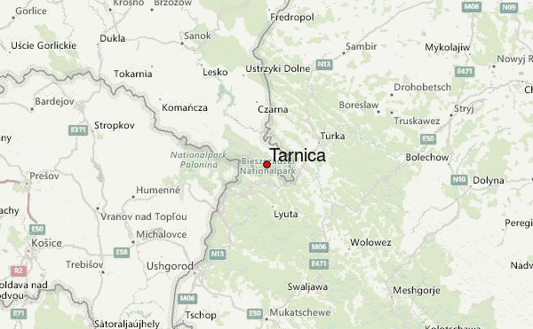
– Lat/Long: 49.07° N 22.73° E
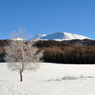
 Tarnica – Climbing, Hiking & Mountaineering information

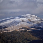
Tarnica Guide
- Elevation: 1346
- Difficulty: Walk up
- Best months to climb: May, June, July, August, September
- Convenient center: Lesko
Tarnica climbers NotesBe the first to submit your climbers note! Please submit any useful information about climbing Tarnica that may be useful to other climbers. Consider things such as access and accommodation at the base of Tarnica, as well as the logistics of climbing to the summit. |
| Select a
mountain summit from the menu |
||
|
Select a Mountain Summit
|
||
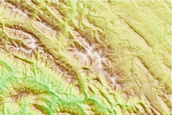
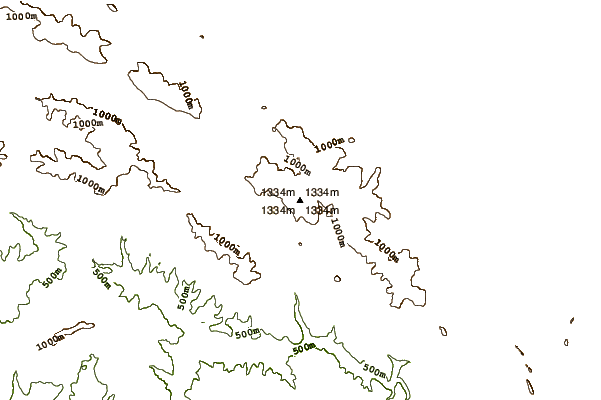
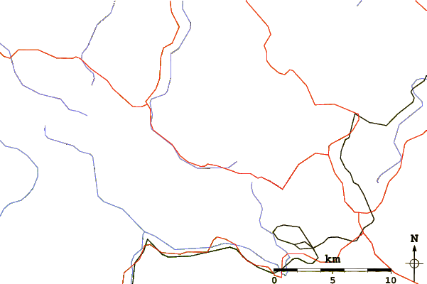
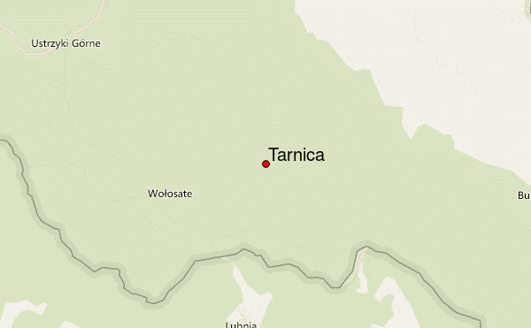
Use this relief map to navigate to mountain peaks in the area of Tarnica.
10 other mountain peaks closest to Tarnica:
| 1. | Schr. Studenckie Politechniki Warszawskiej Koliba (785 m) | 10.4 km |
| 2. | Bacówka pod Małą Rawką (930 m) | 11.6 km |
| 3. | Chatka Puchatka (1226 m) | 15.8 km |
| 4. | Smerek (1222 m) | 21.9 km |
| 5. | Schronisko Jaworzec (585 m) | 26.4 km |
| 6. | Bacówka pod Honem (668 m) | 33.8 km |
| 7. | Leśna Willa Komańcza (496 m) | 55.8 km |
| 8. | Zahar Berkut bike park (1200 m) | 62.4 km |
| 9. | Pylypets Bike Park (1586 m) | 62.5 km |
| 10. | Tokarnia (peak) (778 m) | 64.3 km |