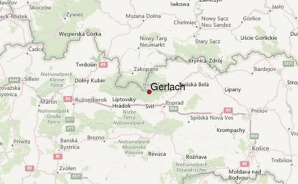
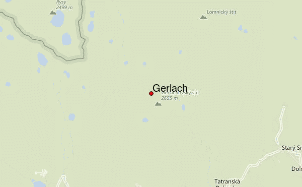
– Lat/Long: 49.16° N 20.13° E
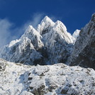
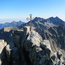
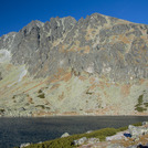
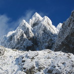
 Gerlach – Climbing, Hiking & Mountaineering information
Gerlach – Climbing, Hiking & Mountaineering information
Gerlach guide
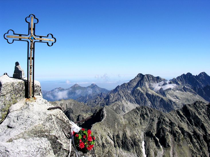
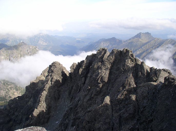
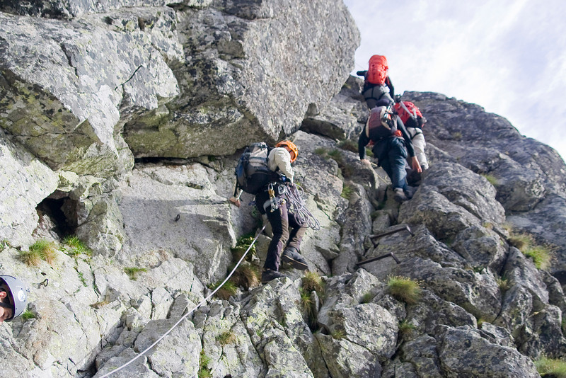
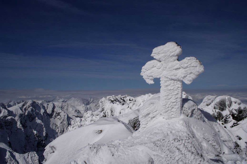
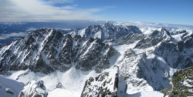
- Elevation: 2655 m
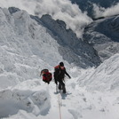
- Difficulty: Scramble
- Best months to climb: July, August, September
- Convenient center: Tatranska Lomnica, Slovakia, Zakopane, Poland
Gerlach Climbing Notes
Click here to read 7 more climbing notes for Gerlach or submit your own |
| Select a
mountain summit from the menu |
||
|
Select a Mountain Summit
|
||
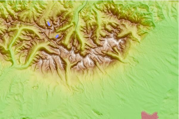
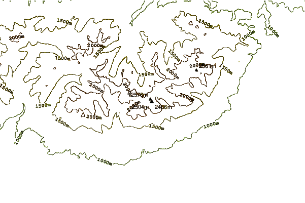
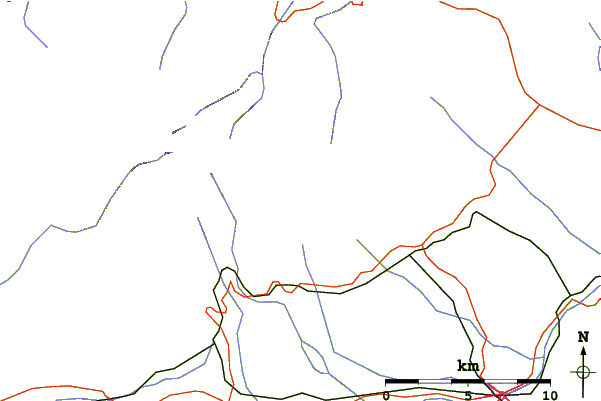
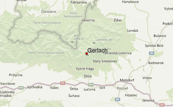
Use this relief map to navigate to mountain peaks in the area of Gerlach.
10 other mountain peaks closest to Gerlach:
| 1. | Vysoka (2574 m) | 3.1 km |
| 2. | Rysy (2499 m) | 3.8 km |
| 3. | Slavkovsky Stit (2452 m) | 4.8 km |
| 4. | Mięguszowiecki Szczyt Wielki (2438 m) | 5.9 km |
| 5. | Mnich (mountain) (2068 m) | 6.5 km |
| 6. | Lomnicky Stit (2633 m) | 6.8 km |
| 7. | Wołoszyn (2155 m) | 9.4 km |
| 8. | Krivan (2494 m) | 9.7 km |
| 9. | Swinica (2301 m) | 10.9 km |
| 10. | Koscielec (2155 m) | 11.0 km |

