– Lat/Long: 49.16° N 20.00° E
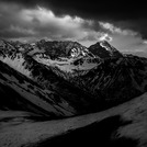
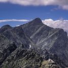
 Krivan – Climbing, Hiking & Mountaineering information

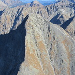
Krivan Guide
- Elevation: 2494
- Difficulty: -
- Best months to climb: May, June, July August, September
- Convenient center: Strba, Strbske Pleso, Pribilina
Krivan climbers Notes
Click here to read 2 more climbing notes for Krivan or submit your own |

| Select a
mountain summit from the menu |
||
|
Select a Mountain Summit
|
||
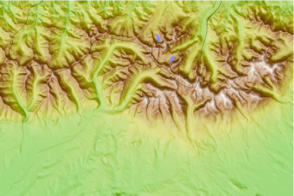
Use this relief map to navigate to mountain peaks in the area of Krivan.
10 other mountain peaks closest to Krivan:
| 1. | Chata pod Soliskom (1840 m) | 3.6 km |
| 2. | Mięguszowiecki Szczyt Wielki (2438 m) | 5.1 km |
| 3. | Mnich (mountain) (2068 m) | 5.2 km |
| 4. | Majláthova chata (1492 m) | 5.8 km |
| 5. | Horský hotel Popradské pleso (1494 m) | 5.9 km |
| 6. | Swinica (2301 m) | 6.3 km |
| 7. | Chata pod Rysmi (2250 m) | 6.4 km |
| 8. | Rysy (2499 m) | 6.6 km |
| 9. | Schronisko w Dolinie Pięciu Stawów Polskich (1672 m) | 6.6 km |
| 10. | Schronisko przy Morskim Oku (1410 m) | 6.7 km |