Behrouz hashemian from IRAN writes:
دوستان سلام
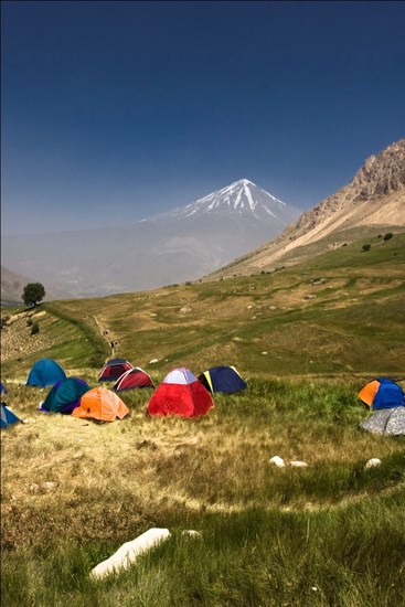
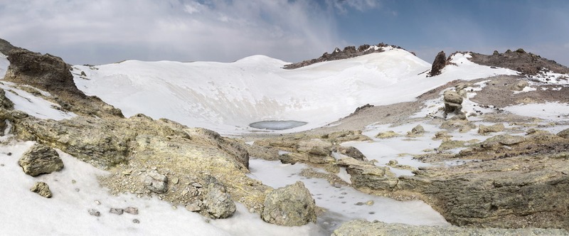
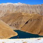
ما سوم مرداد ماه سال گذشته 99 شب بارگاه سوم دماوند خوابیدیم که صبح زود بریم قله و آهسته آهسته شب باران شروع شد وگفتیم خوب اشکالی نداره و باران مسئله ای نیست اما صبح تا بلند شدیم وهوا کمی روشن شد دیدیم که برف اومده و مشخص شد که از حدود صد متر بالاتر کاملا سفید پوش شده و مه سنگین و خلاصه با امکانات معمولی عملا صعود بسیار مشکل یا ناممکن بود
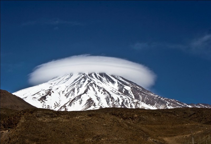
همنوردان عزیز آب و هوای دماوند بسیار متغیره ومیتواند یک روز گرم آفتابی در ارتفاعات به هوای سرد و برف و بورانی و طاقت فرسا و خطرناک تبدیل شود
همیشه همه امکانات ضروری را با خود بهمراه داشته باشید
شاد و موفق باشید
بهروز هاشمیان
Hello friends
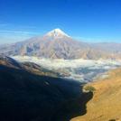
We slept on the 3rd of August last year, in the third camp of Damavand, to go to the summit early in the morning, and slowly the night started to rain, and we said that it was okay and the rain was not a problem, but when we got up in the morning, from about one hundred meters above, it was completely covered with thick fog, in short, with normal facilities, it was practically very difficult or impossible to climb.
Dear fellow travelers, the climate of Damavand is very changeable and a hot sunny day in the highlands can turn into cold, snow, stormy, exhausting and dangerous weather.
Always have all the necessary equipment with you
Be happy and successful
Behrooz Hashemian
2021-07-06 |
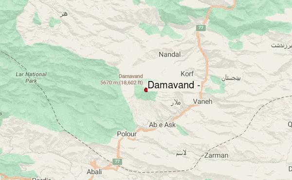
 Damavand (دماوند) (Damavand) – Climbing, Hiking & Mountaineering information
