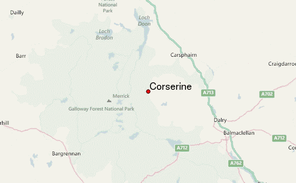
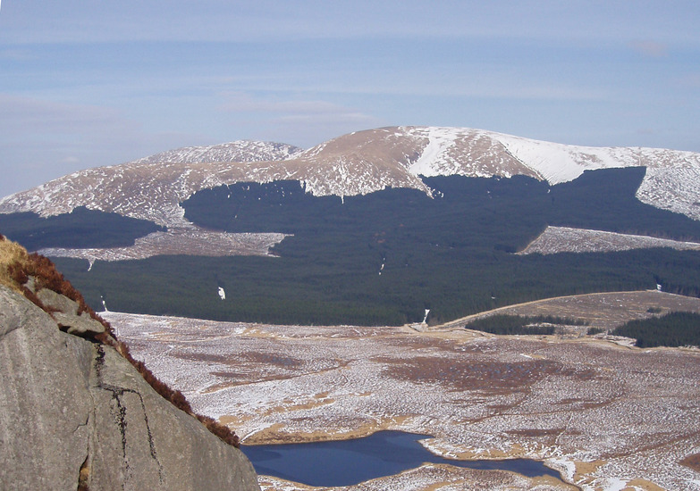
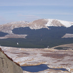
Corserine mountain guide
- Elevation: 814 m
- Difficulty:
- Best months to climb:
- Convenient center:
Corserine Climbing Notes
Anne from UNITED KINGDOM writes:
Parking at the trail head is on private land ‘Forest Estates’.
No parking after 8pm - and obviously therefore no overnight parking (it is monitored).
There is lots of space to park so unlikely to be a problem at this less well known hill.
There is a pretty long section of forest road to travel before getting onto the hill.
Maybe 2 km.
After that it is straight forward on a fairly obvious trail.
Can be tiny bit boggy in places but nothing serious.
2023-06-10 |
Click here to submit your own climbing note for Corserine
|
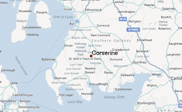
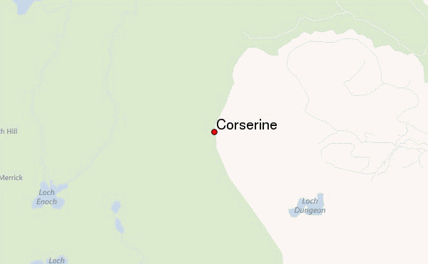
Select Corserine Location Map Detail:
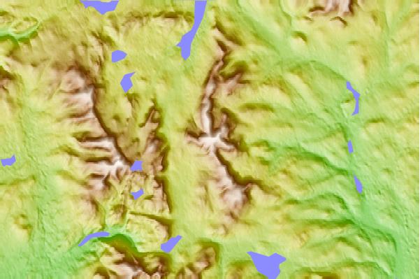
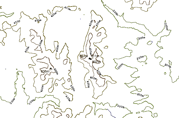
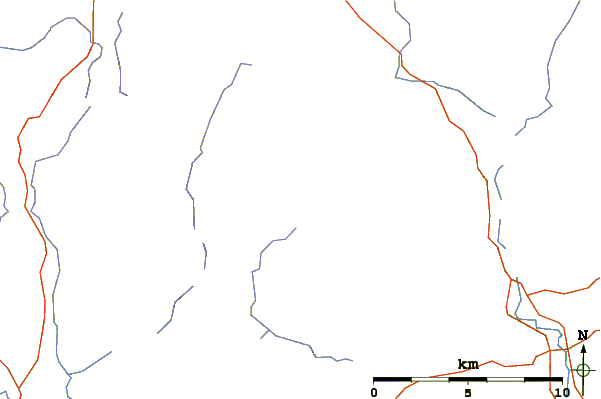
Use this relief map to navigate to mountain peaks in the area of Corserine.
10 other mountain peaks closest to Corserine:
 Corserine – Climbing, Hiking & Mountaineering information
 Like us
 Follow us
