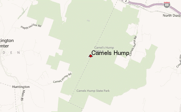
– Lat/Long: 44.32° N 72.89° W
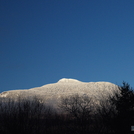
 Camels Hump – Climbing, Hiking & Mountaineering information
Camels Hump – Climbing, Hiking & Mountaineering information
Camels Hump mountain guide

- Elevation: 1245 m
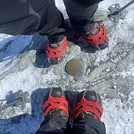
- Difficulty: Walk up
- Best months to climb: May, June, July, August, September, October
- Convenient center: Waterbury
Camels Hump Climbing NotesBe the first to submit your climbing note! Please submit any useful information about climbing Camels Hump that may be useful to other climbers. Consider things such as access and accommodation at the base of Camels Hump, as well as the logistics of climbing to the summit. |
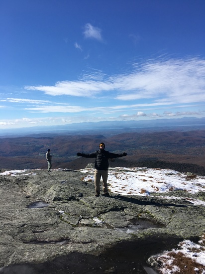
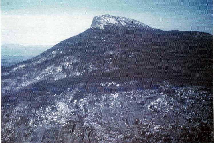
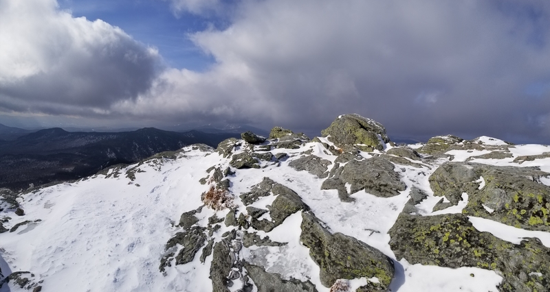
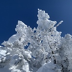
Latest Gallery Images for Camels Hump


| Select a
mountain summit from the menu |
||
|
Select a Mountain Summit
|
||
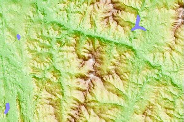
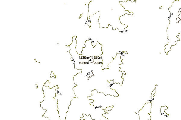
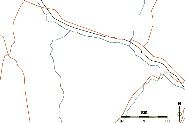
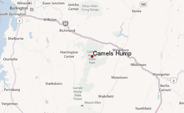
Use this relief map to navigate to mountain peaks in the area of Camels Hump.
10 other mountain peaks closest to Camels Hump:
| 1. | Bolton Mountain (Vermont) (1125 m) | 14.9 km |
| 2. | Mount Ellen (Vermont) (1244 m) | 18.1 km |
| 3. | Lincoln Peak (Vermont) (1212 m) | 21.7 km |
| 4. | Mount Abraham (Vermont) (1224 m) | 22.5 km |
| 5. | Mount Putnam (Vermont) (1110 m) | 22.6 km |
| 6. | Mount Mansfield (1339 m) | 25.6 km |
| 7. | Mount Grant (Vermont) (1104 m) | 29.9 km |
| 8. | Mount Wilson (Vermont) (1155 m) | 35.1 km |
| 9. | Bread Loaf Mountain (Vermont) (1169 m) | 35.6 km |
| 10. | Snake Mountain (Vermont) (392 m) | 42.6 km |
 Like us
 Follow us
