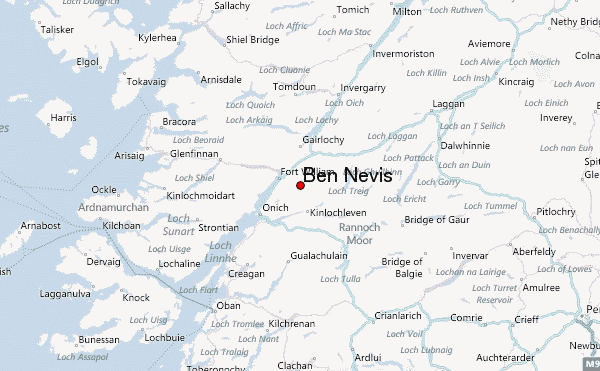
– Lat/Long: 56.80° N 5.00° W
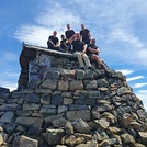
 Ben Nevis – Climbing, Hiking & Mountaineering information
Ben Nevis – Climbing, Hiking & Mountaineering information
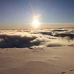
Ben Nevis guide
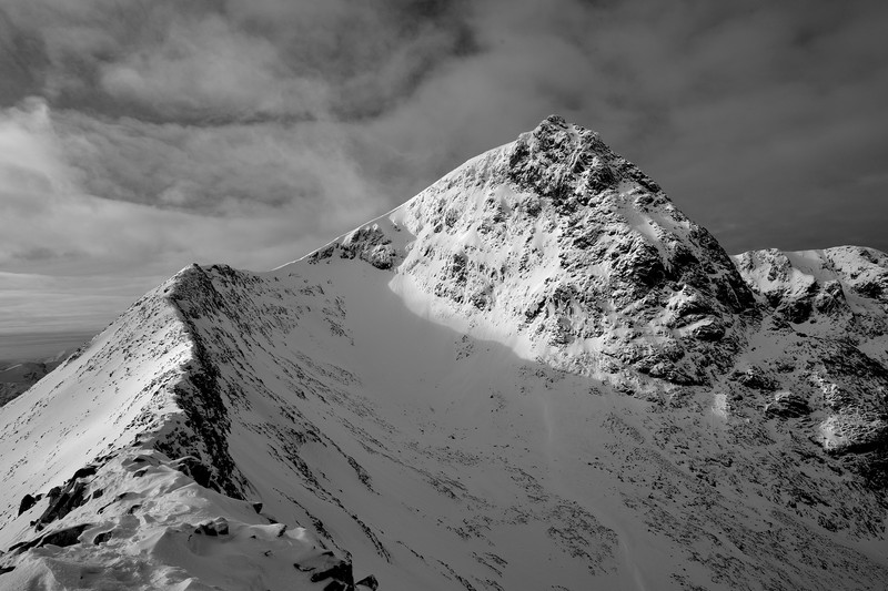
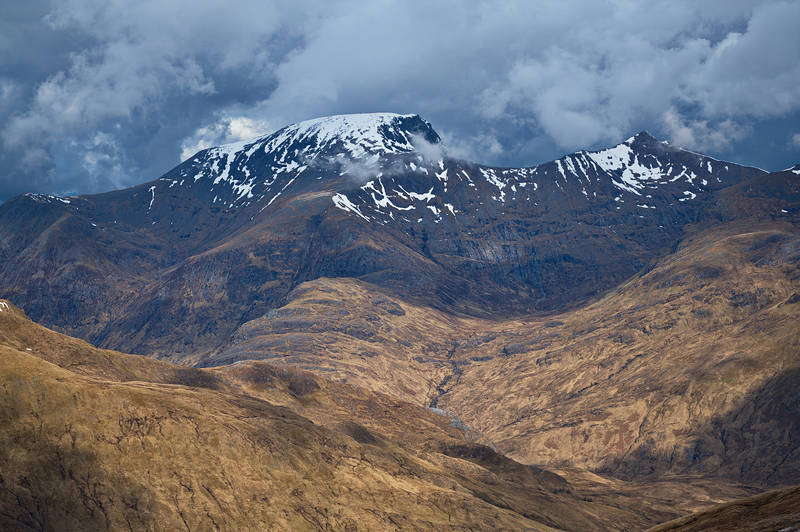
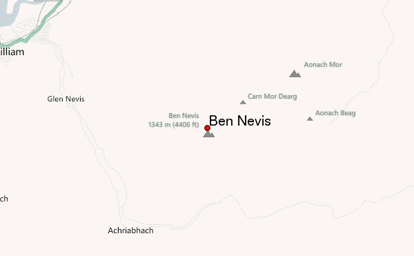
- Elevation: 1344 m
- Difficulty: Walk up
- Best months to climb: June, July, August
- Convenient center: Fort William
Ben Nevis Climbing NotesBe the first to submit your climbing note! Please submit any useful information about climbing Ben Nevis that may be useful to other climbers. Consider things such as access and accommodation at the base of Ben Nevis, as well as the logistics of climbing to the summit. |

| Select a
mountain summit from the menu |
||
|
Select a Mountain Summit
|
||
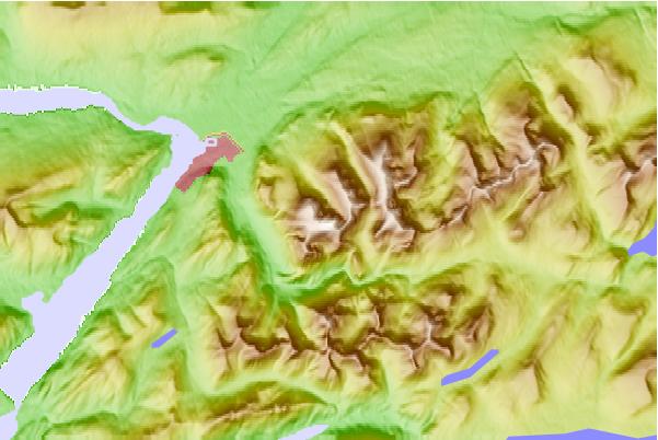
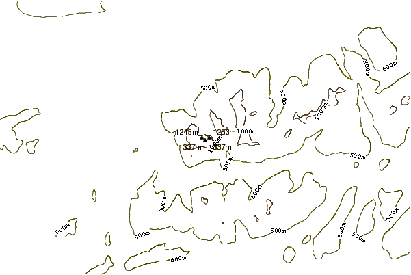
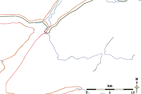
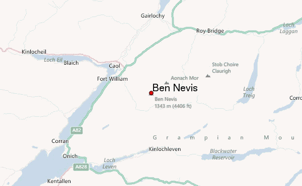
Use this relief map to navigate to mountain peaks in the area of Ben Nevis.
10 other mountain peaks closest to Ben Nevis:
| 1. | Càrn Mòr Dearg (1223 m) | 1.3 km |
| 2. | Aonach Mòr (1221 m) | 3.0 km |
| 3. | Aonach Beag (1234 m) | 3.1 km |
| 4. | Sgurr a' Mhaim (1099 m) | 4.6 km |
| 5. | An Gearanach (982 m) | 5.0 km |
| 6. | Nevis Range (665 m) | 5.0 km |
| 7. | Stob Coire a' Chàirn (981 m) | 5.7 km |
| 8. | Stob Bàn (Mamores) (999 m) | 6.3 km |
| 9. | Am Bodach (1032 m) | 6.5 km |
| 10. | Binnein Beag (943 m) | 6.7 km |

