Alvand (الوند) Guide
- Elevation: 3428
- Difficulty: -
- Best months to climb: May, June
- Convenient center: Hammadan
Alvand (الوند) climbers Notes
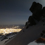
Shahram Rasti from IRAN writes:
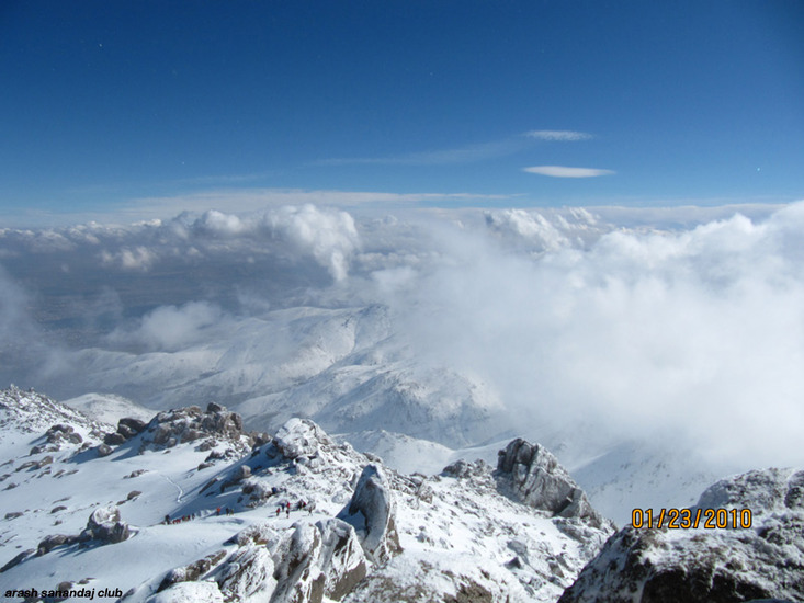
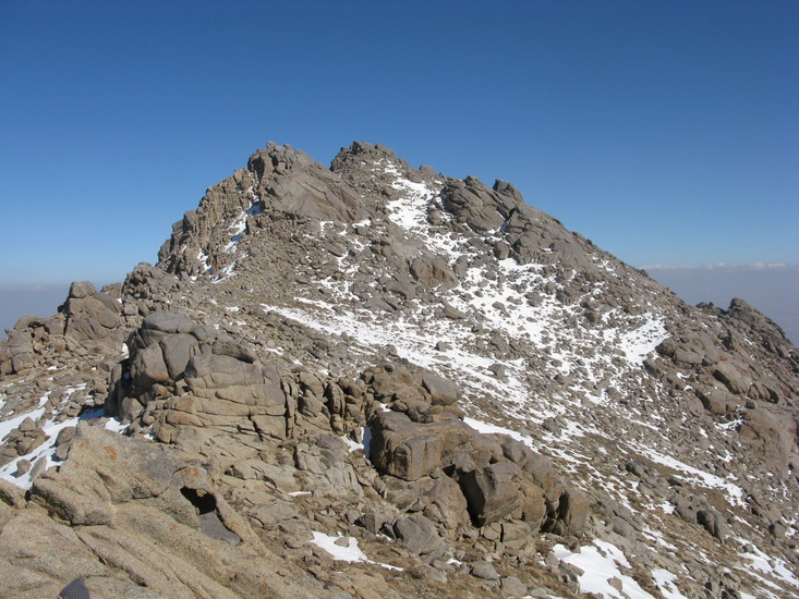
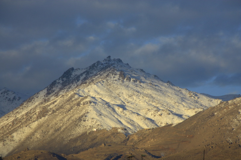
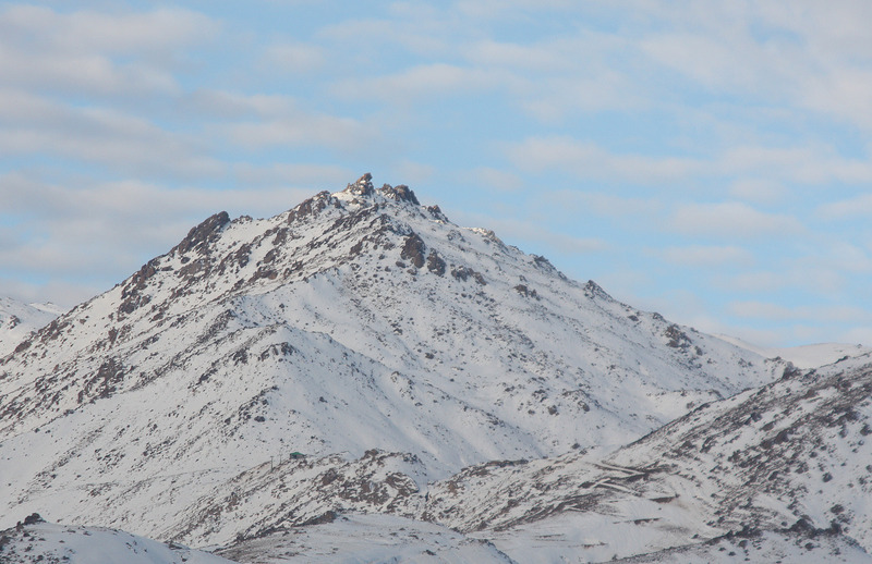
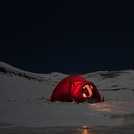
Alvand is referred to a Volkanic Mount Near Hamedan (Iran) with 3584m Height which is known also as Char-Gholleh. The wellknown Alvand (3428m) is more Beautiful cat-shape Cliff which is 14km far from Char-Gholleh. Climbing Alvand during winter is a little hard but pleasant.
2013-10-20 |
Click here to read 1 more climbing note for Alvand (الوند) or submit your own
|
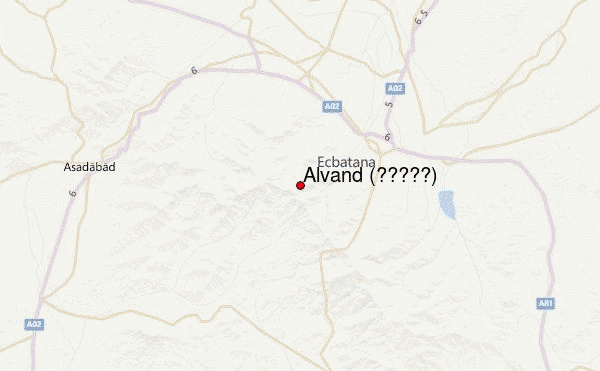
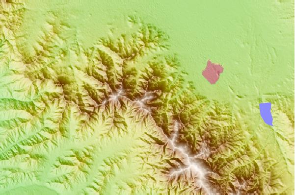
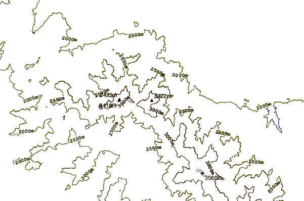
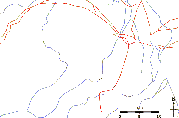
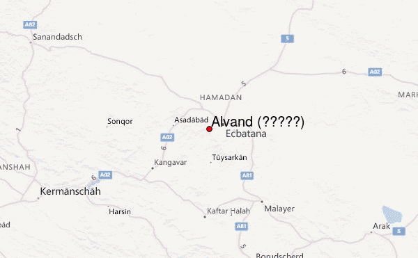
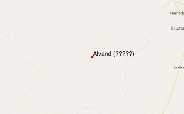
Select Alvand (الوند) Location Map Detail:
Use this relief map to navigate to mountain peaks in the area of Alvand (الوند).
10 other mountain peaks closest to Alvand (الوند):
 Alvand (الوند) (Alvand or Alvand Kuh) – Climbing, Hiking & Mountaineering information
