– Lat/Long: 39.76° N 140.80° E
 Akita-komaga-take – Climbing, Hiking & Mountaineering information
Akita-komaga-take – Climbing, Hiking & Mountaineering information
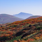
Akita-komaga-take mountain guide
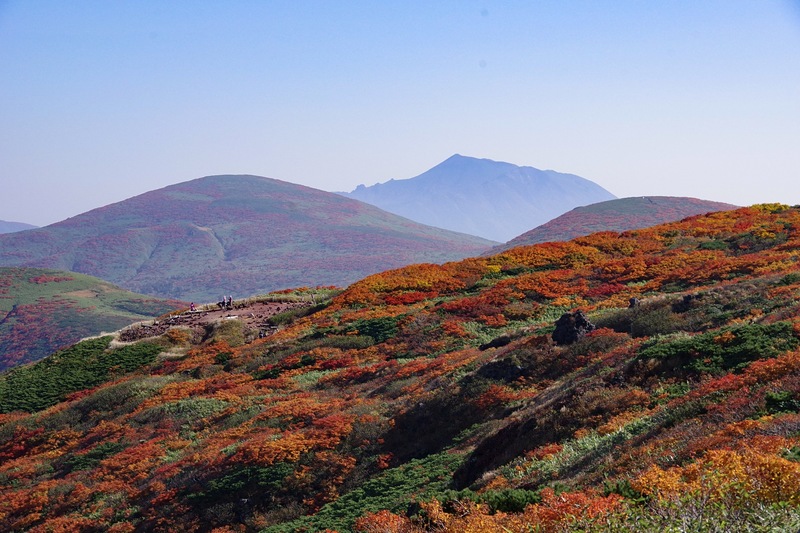
- Elevation: 1637 m
- Difficulty:
- Best months to climb:
- Convenient center: Morioka
Akita-komaga-take Climbing NotesBe the first to submit your climbing note! Please submit any useful information about climbing Akita-komaga-take that may be useful to other climbers. Consider things such as access and accommodation at the base of Akita-komaga-take, as well as the logistics of climbing to the summit. |
| Select a
mountain summit from the menu |
||
|
Select a Mountain Summit
|
||
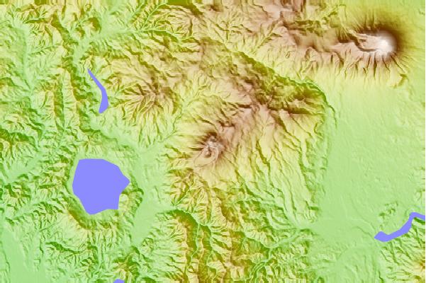
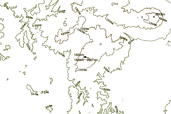

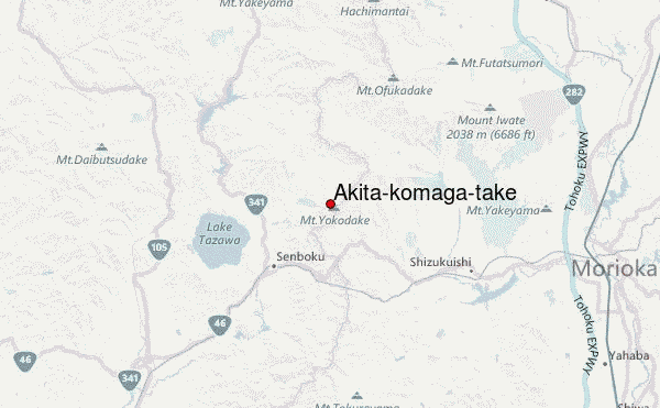
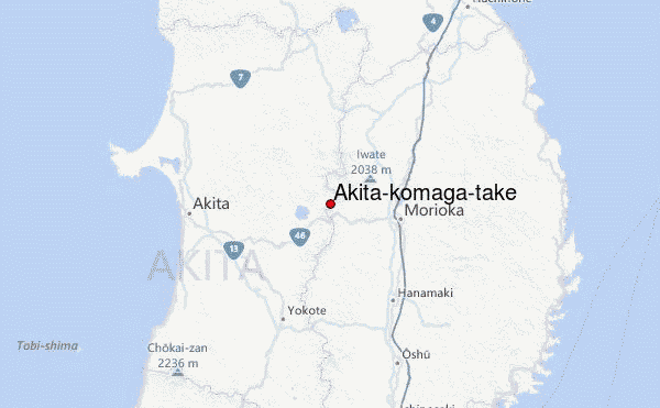
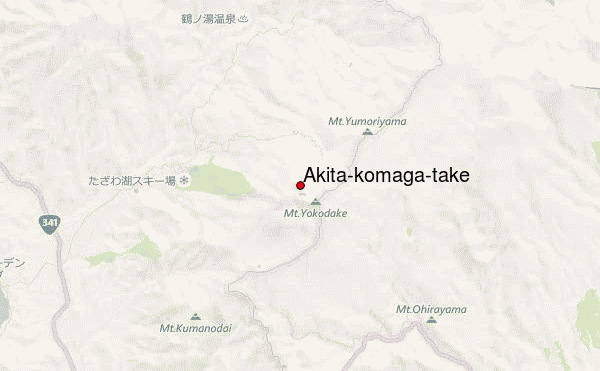
Use this relief map to navigate to mountain peaks in the area of Akita-komaga-take.
10 other mountain peaks closest to Akita-komaga-take:
| 1. | Mount Iwate (2041 m) | 19.8 km |
| 2. | Hachimantai (1614 m) | 21.5 km |
| 3. | Akita-yake-yama (1366 m) | 23.4 km |
| 4. | Mount Hayachine (1914 m) | 63.3 km |
| 5. | Towada (1159 m) | 79.6 km |
| 6. | Kurikoma (1628 m) | 90.3 km |
| 7. | Hakkoda Group (1585 m) | 99.2 km |
| 8. | Chokai (2230 m) | 100.6 km |
| 9. | Iwaki (1625 m) | 107.7 km |
| 10. | Naruko (volcano) (470 m) | 114.6 km |
 Like us
 Follow us
