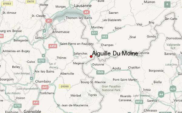
– Lat/Long: 45.92° N 6.95° E
 Aiguille Du Moine – Climbing, Hiking & Mountaineering information
Aiguille Du Moine – Climbing, Hiking & Mountaineering information
Aiguille Du Moine mountain guide
- Elevation: 3412 m
- Difficulty: Scramble
- Best months to climb: July, August, September
- Convenient center: Chamonix
Aiguille Du Moine Climbing NotesBe the first to submit your climbing note! Please submit any useful information about climbing Aiguille Du Moine that may be useful to other climbers. Consider things such as access and accommodation at the base of Aiguille Du Moine, as well as the logistics of climbing to the summit. |
| Select a
mountain summit from the menu |
||
|
Select a Mountain Summit
|
||
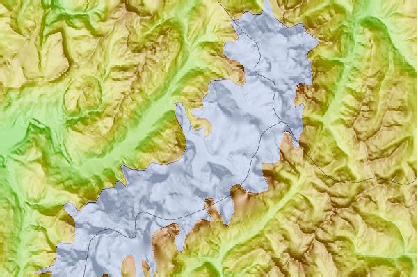

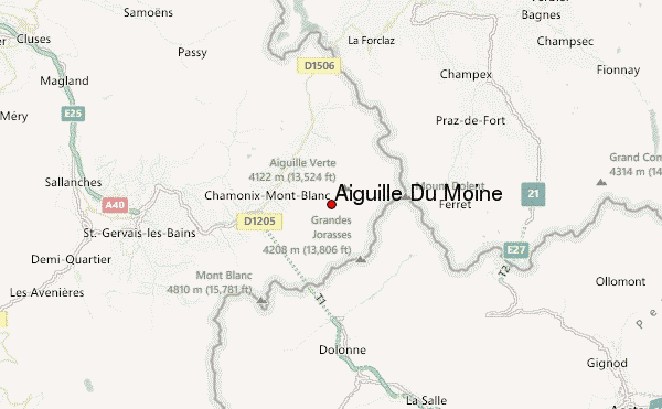
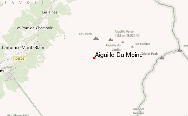
Use this relief map to navigate to mountain peaks in the area of Aiguille Du Moine.
10 other mountain peaks closest to Aiguille Du Moine:
| 1. | Petit Dru (3730 m) | 1.8 km |
| 2. | Aiguille du Dru (3755 m) | 1.8 km |
| 3. | Aiguille Verte (4122 m) | 2.5 km |
| 4. | Mont Blanc (4807 m) | 2.6 km |
| 5. | Grande Rocheuse (4102 m) | 2.6 km |
| 6. | Aiguille du Jardin (4035 m) | 2.8 km |
| 7. | Aiguille des Grands Charmoz (3445 m) | 2.8 km |
| 8. | Aiguille de Blaitière (3522 m) | 3.5 km |
| 9. | Aiguille des Grands Montets (3295 m) | 3.6 km |
| 10. | Dent du Requin (3422 m) | 4.0 km |
 Like us
 Follow us
