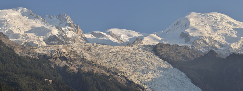
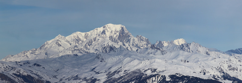
Mont Blanc mountain guide
- Elevation: 4807 m
- Difficulty: Basic Snow and Ice Climb
- Best months to climb: July, August, September
- Convenient center: Chamonix, France
Mont Blanc Climbing Notes
U of M Climbers from UNITED STATES writes:
Watching the weather. Is the mountain still in climbable condition? Can anyone tell me about the snow pack tendencies? Where I'm from after a big snow, the mountain usually needs 24-36 hours of sun for the snow to consolidate and maker good climbing? Looks like snow September 15-17 and then hot clear conditions for follow. Any advice about the local area would be greatly appreciated.
2016-09-13 |
Click here to read 14 more climbing notes for Mont Blanc or submit your own
|
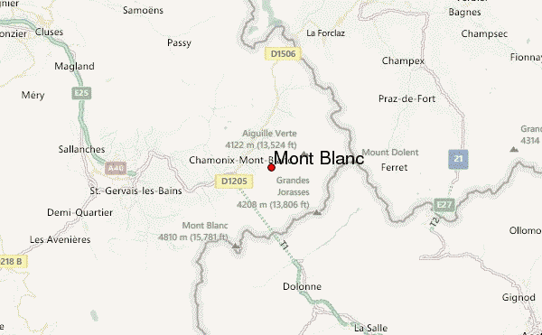
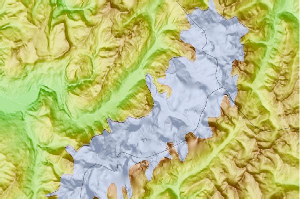
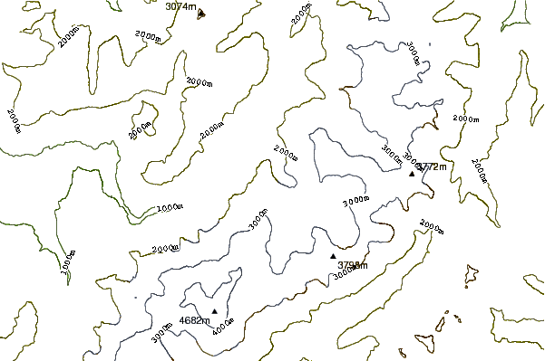
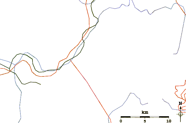
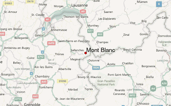
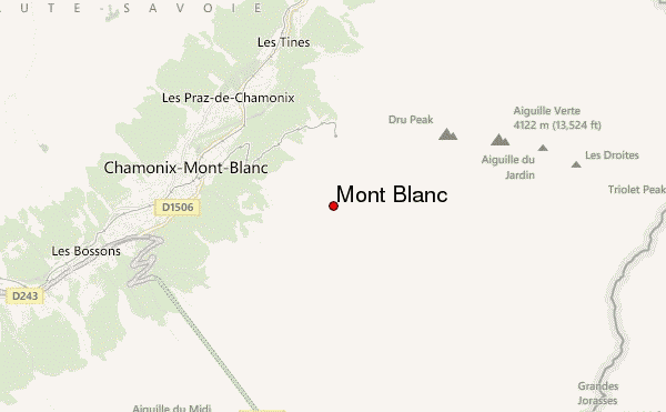
Select Mont Blanc Location Map Detail:
Use this relief map to navigate to mountain peaks in the area of Mont Blanc.
10 other mountain peaks closest to Mont Blanc:
 Mont Blanc – Climbing, Hiking & Mountaineering information


 Like us
 Follow us
