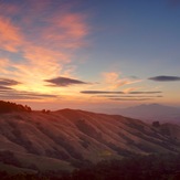
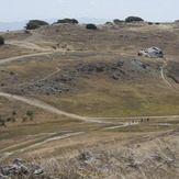
William Rust Summit Mountain Photos
View
photos from Pacific Coast Ranges (962) |
photos from United States (2753) |
all photos
 Upload new photo
 Sort by:
Latest uploads
Photos from mountains close to William Rust Summit
Grizzly Peak (Berkeley Hills)
Ring Mountain (California)
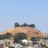
Bernal Heights Summit
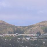
Twin Peaks (San Francisco, California)
 Like us
 Follow us
