Rex and friends from UNITED STATES writes:
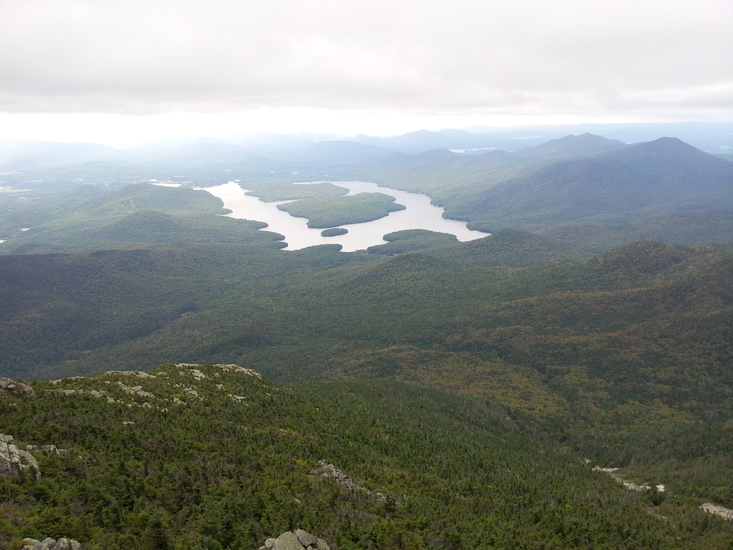
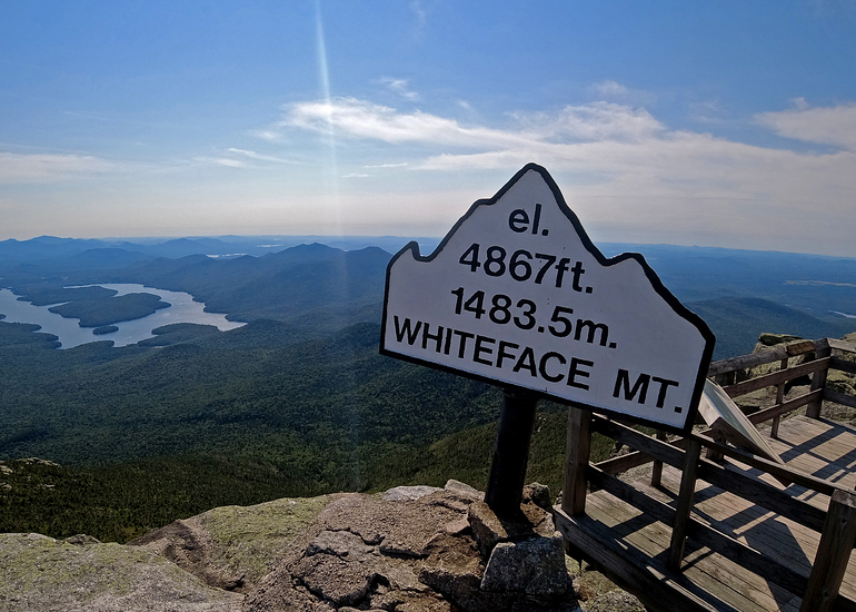
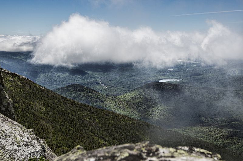
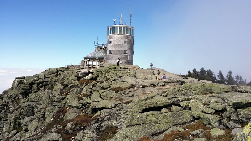
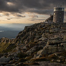
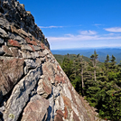
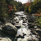
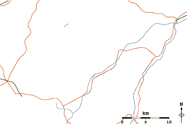
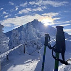
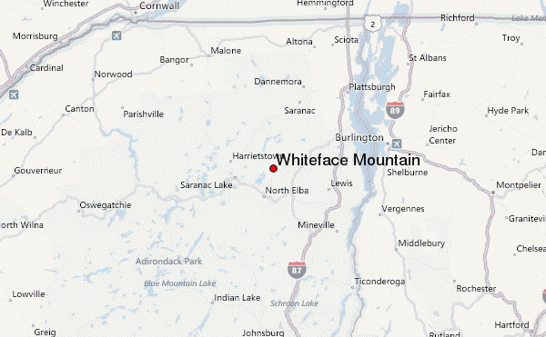
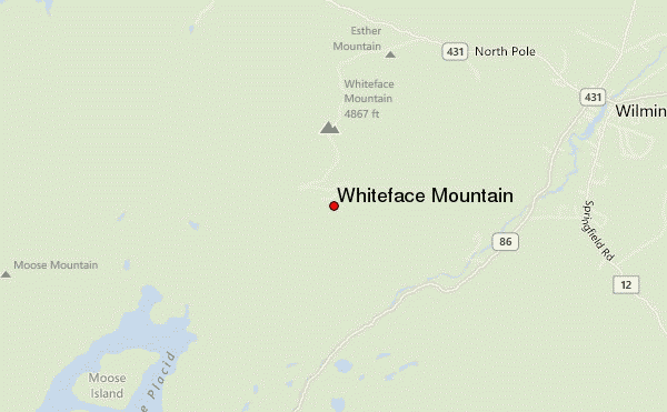
Three of us paddled across Lake Placid to Whiteface Landing in late Sept, 2018 for a weekend in the 'daks. Schlepping our gear about a mile inland along a wooded path joined by Connery Pond Trail, we settled into the fine lean-to at the base of Whiteface Mountain. The lean-to is near a roaring brook, high because of the wet summer and recent rain. Hitting the trail to Whiteface Peak by 8 am, we topped out there by 10:30, having hiked steadily steepening wooded trails, streambeds and typical high peaks ADK terrain until about 4/5 up when the terrain opened into slabs and more scrambly action over rocky crooks and faces. Exposure was minimal but it was mostly dry. Sadly, views are nonexistent until very near the top. We were among the first at the fogged-in summit with the few others there clearly having driven up. Our day involved descending from the peak to the North, to bag Lookout Mt and Esther Mt (another 46er). We passed dozens of day hikers from the north as we descended that side, and shared a muddy traverse over Lookout to Esther by about noon, 5.5 miles from the lean-to. Loved seeing small kids and many women enjoying the day. Upon returning to WF peak where cold localized rain was chilling most visitors, we had climbed a total of 5200 ft that day and had a tiring 2800 ft descent ahead. Surprising to me, that hike down took almost the same amount of time as climbing up earlier that day. We were back at the lean-to by 4:30, extremely satisfied with the day. The best views occurred at the peak and just off it, once we had descended below the clouds that clung to the peak. I'm 58, in decent but overweight shape and felt fine. I recommend carrying a walking stick to stabilize the descent. I was "sloppy" tired by the end and didn't have the muscle reserve to stay completely in control and recover gracefully from small skids and missteps. Lovely one day 11 mile 5000+ft hike in a spectacular location!
2018-11-20 |
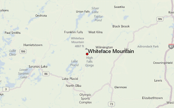
 Whiteface Mountain – Climbing, Hiking & Mountaineering information
 Like us
 Follow us
