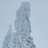
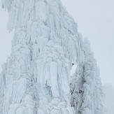
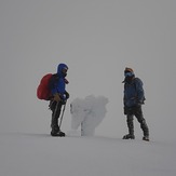
Wheeler Peak Mountain Photos
View
photos from Carson Range (31) |
photos from Sierra Nevada (186) |
photos from United States (2751) |
all photos
 Upload new photo
 Sort by:
Latest uploads
Photos from mountains close to Wheeler Peak
Thunder Mountain (California)
Mt Baldy
Thunder Mountain (California)
Mt Baldy
Thunder Mountain (California)
Top Mt Baldy
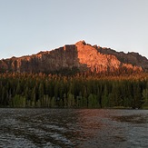
Thunder Mountain (California)
Thunder Mountain from Silver Lake
 Like us
 Follow us
