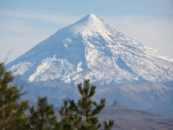
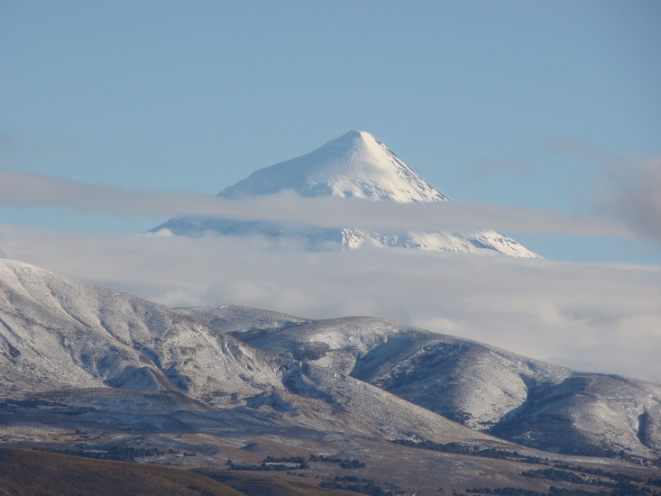
Volcan Lanin Guide
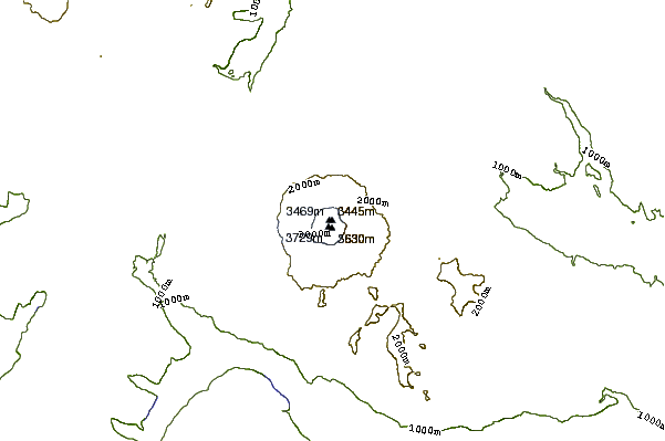
- Elevation: 3776
- Difficulty: Basic Snow and Ice Climb
- Best months to climb: November, December, January, February, March
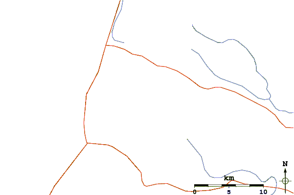
- Convenient center: Juin de los Andes
Volcan Lanin climbers Notes
@pabloferrariguia from ARGENTINA writes:
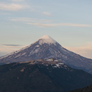
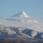
Una de las montañas mas lindas de la Patagonia Norte.
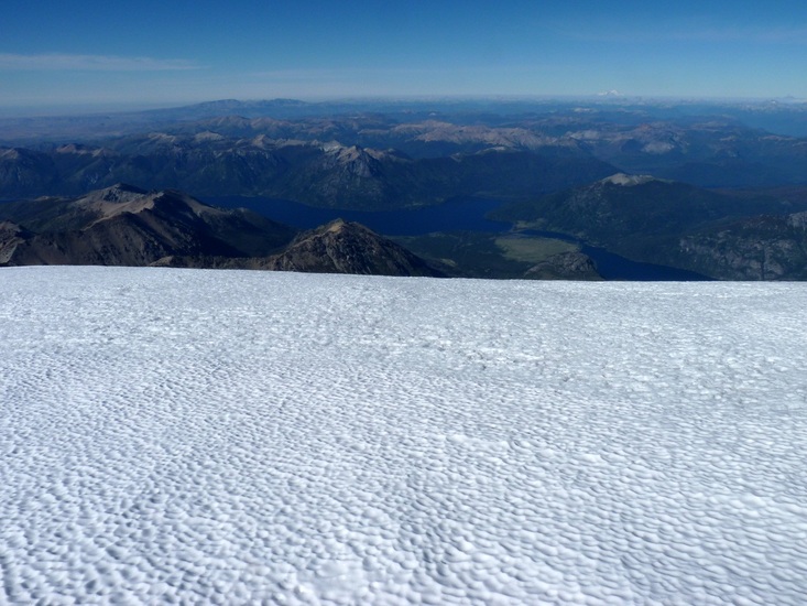
EL Lanín es exigente pero cuando estás en la cumbre te devuelve todo lo que pusiste para subir con impresionantes vistas 360°, pudiendo observar varios lagos, volcanes y valles glaciarios tanto Argentinos como Chilenos.
Una experiencia única digna de ser vivida.
Contactate con nosotros que con los mejores guías habilitados, seguros requeridos y el equipo necesario te llevamos a vivir la mejor experiencia, no podés perdértelo.
@pabloferrariguia
One of the most beautiful mountains in Northern Patagonia.
EL Lanín is demanding but when you are at the summit, it gives you back everything you put in to climb with impressive 360° views, being able to observe several lakes, volcanoes and glacial valleys, both Argentine and Chilean.
A unique experience worth living.
Contact us and with the best qualified guides, required insurance and the necessary equipment we will take you to live the best experience, you cannot miss it.
@pabloferrariguia
2024-09-25 |
Click here to read 4 more climbing notes for Volcan Lanin or submit your own
|
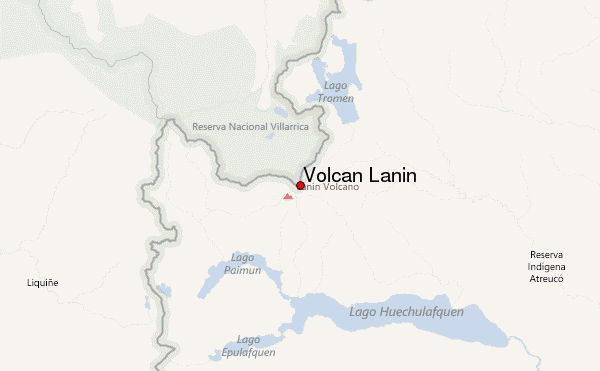
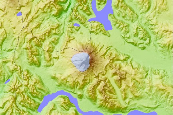
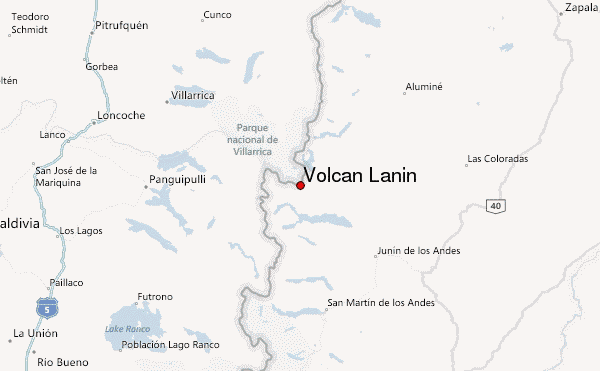
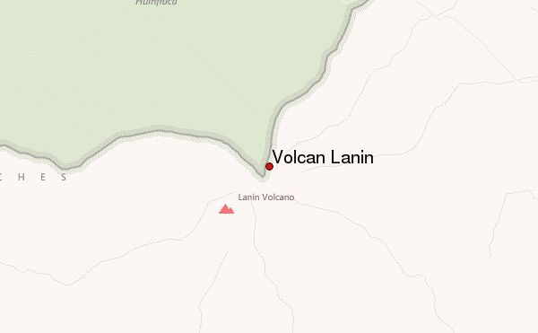
Select Volcan Lanin Location Map Detail:
Use this relief map to navigate to mountain peaks in the area of Volcan Lanin.
10 other mountain peaks closest to Volcan Lanin:
 Volcan Lanin – Climbing, Hiking & Mountaineering information
