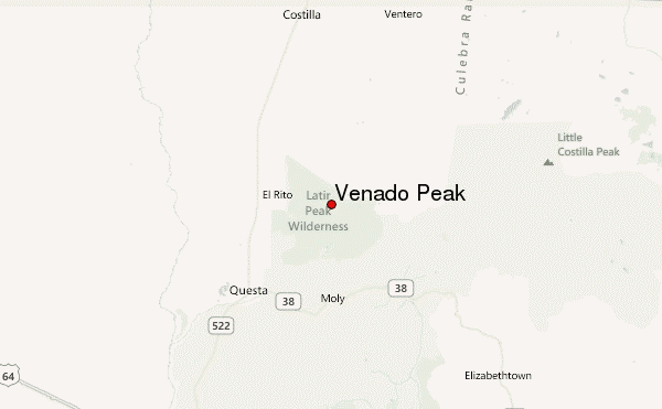
– Lat/Long: 36.79° N 105.49° W
 Venado Peak – Climbing, Hiking & Mountaineering information
Venado Peak – Climbing, Hiking & Mountaineering information
Venado Peak mountain guide
- Elevation: 3881 m
- Difficulty:
- Best months to climb:
- Convenient center:
Venado Peak Climbing NotesBe the first to submit your climbing note! Please submit any useful information about climbing Venado Peak that may be useful to other climbers. Consider things such as access and accommodation at the base of Venado Peak, as well as the logistics of climbing to the summit. |
| Select a
mountain summit from the menu |
||
|
Select a Mountain Summit
|
||
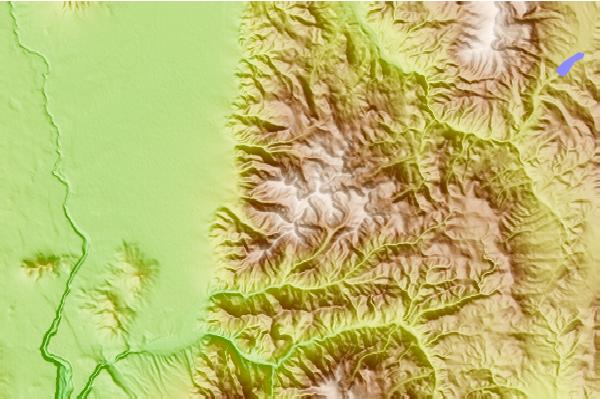
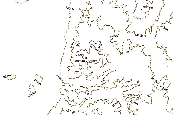
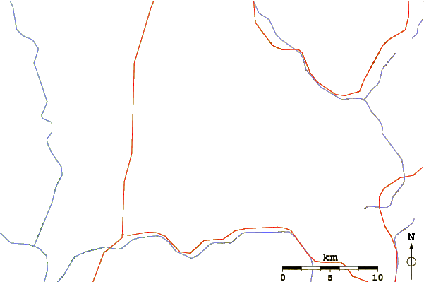
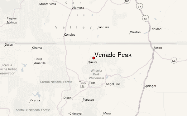
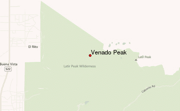
Use this relief map to navigate to mountain peaks in the area of Venado Peak.
10 other mountain peaks closest to Venado Peak:
| 1. | Baldy Mountain (Taos County, New Mexico) (3672 m) | 4.8 km |
| 2. | Mount Walter (New Mexico) (4003 m) | 26.6 km |
| 3. | Wheeler Peak (4011 m) | 27.1 km |
| 4. | Old Mike (3998 m) | 29.1 km |
| 5. | Lake Fork Peak (3926 m) | 29.3 km |
| 6. | Baldy Mountain (Colfax County, New Mexico) (3792 m) | 30.8 km |
| 7. | Mt Phillips (3 m) | 45.8 km |
| 8. | Culebra Peak (4282 m) | 45.8 km |
| 9. | Mount Phillips (New Mexico) (3579 m) | 45.9 km |
| 10. | Black Mountain (New Mexico) (3320 m) | 55.2 km |
 Like us
 Follow us
