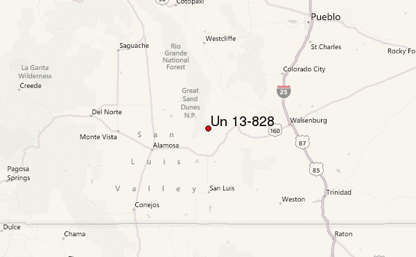
– Lat/Long: 37.60° N 105.43° W
 Un 13-828 – Climbing, Hiking & Mountaineering information
Un 13-828 – Climbing, Hiking & Mountaineering information
Un 13-828 mountain guide
- Elevation: 4215 m
- Difficulty: Walk up
- Best months to climb: April, May, June, July, August, September, October, November
- Convenient center: Walsenburg
Un 13-828 Climbing NotesBe the first to submit your climbing note! Please submit any useful information about climbing Un 13-828 that may be useful to other climbers. Consider things such as access and accommodation at the base of Un 13-828, as well as the logistics of climbing to the summit. |

| Select a
mountain summit from the menu |
||
|
Select a Mountain Summit
|
||
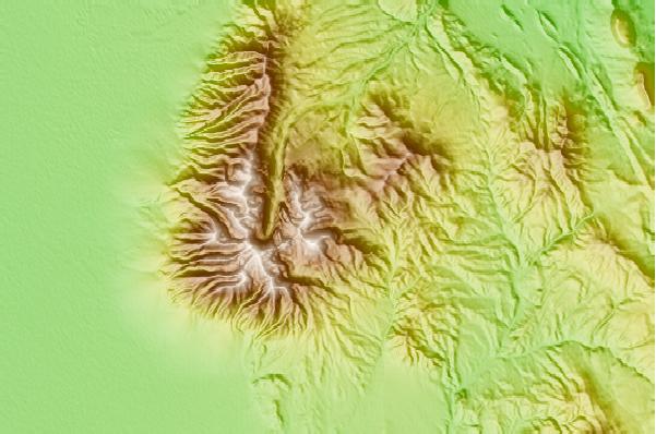
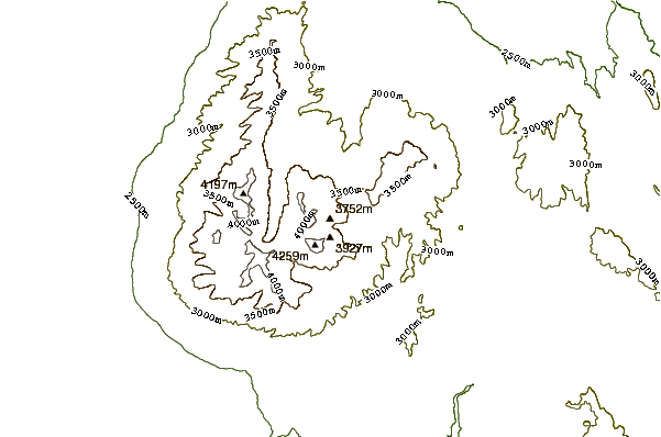
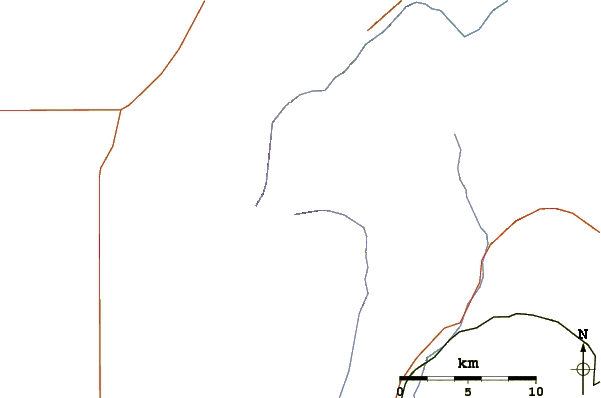
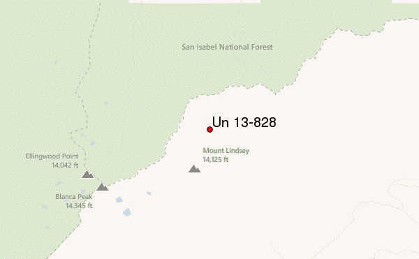
Use this relief map to navigate to mountain peaks in the area of Un 13-828.
10 other mountain peaks closest to Un 13-828:
| 1. | Mount Lindsey (4280 m) | 1.8 km |
| 2. | Blanca Peak (4372 m) | 5.2 km |
| 3. | Ellingwood Point (4280 m) | 5.6 km |
| 4. | California Peak (4221 m) | 6.2 km |
| 5. | Little Bear Peak (4279 m) | 6.8 km |
| 6. | Tijeras Peak (4147 m) | 37.3 km |
| 7. | Crestone Needle (4327 m) | 42.5 km |
| 8. | Crestone Peak (4357 m) | 42.9 km |
| 9. | Humboldt Peak (4287 m) | 43.2 km |
| 10. | Columbia Point (4261 m) | 44.6 km |
 Like us
 Follow us
