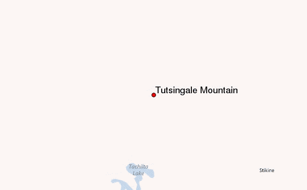
– Lat/Long: 58.78° N 130.88° W
 Tutsingale Mountain – Climbing, Hiking & Mountaineering information
Tutsingale Mountain – Climbing, Hiking & Mountaineering information
Tutsingale Mountain mountain guide
- Elevation: 1722 m
- Difficulty:
- Best months to climb:
- Convenient center:
Tutsingale Mountain Climbing NotesBe the first to submit your climbing note! Please submit any useful information about climbing Tutsingale Mountain that may be useful to other climbers. Consider things such as access and accommodation at the base of Tutsingale Mountain, as well as the logistics of climbing to the summit. |
| Select a
mountain summit from the menu |
||
|
Select a Mountain Summit
|
||
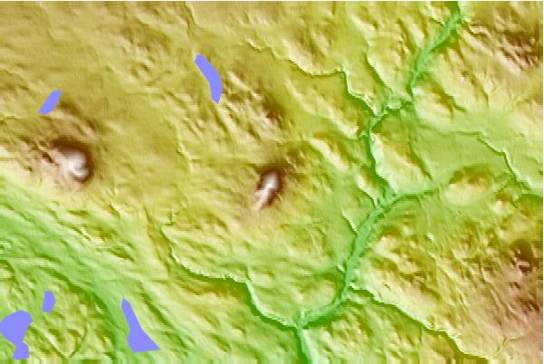
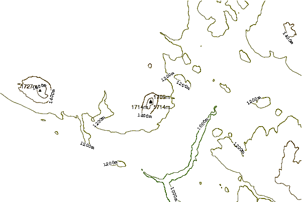
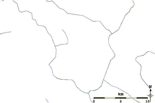
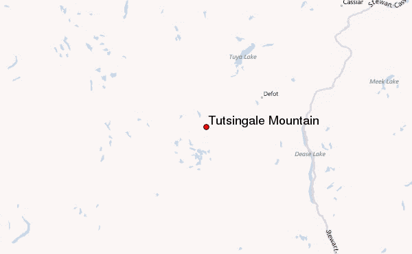
Use this relief map to navigate to mountain peaks in the area of Tutsingale Mountain.
10 other mountain peaks closest to Tutsingale Mountain:
| 1. | Nuthinaw Mountain (1732 m) | 10.7 km |
| 2. | Kawdy Mountain (1936 m) | 23.1 km |
| 3. | Meehaz Mountain (1608 m) | 41.2 km |
| 4. | Mathews Tuya (1676 m) | 42.1 km |
| 5. | Tuya Butte (1685 m) | 43.0 km |
| 6. | Meszah Peak (2166 m) | 46.7 km |
| 7. | Level Mountain (2190 m) | 48.6 km |
| 8. | Tuya Volcanic Field (2123 m) | 48.7 km |
| 9. | Isspah Butte (1673 m) | 53.0 km |
| 10. | South Tuya (1829 m) | 53.6 km |
 Like us
 Follow us
