Tulabug Mountain Photos
View
photos from Ecuador Andes (60) |
photos from Andes (892) |
photos from Ecuador (66) |
all photos
 Upload new photo
 Sort by:
Latest uploads
Photos from mountains close to Tulabug
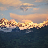
El Altar
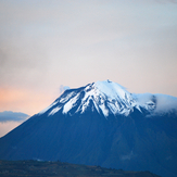
Tungurahua
Tungurahua
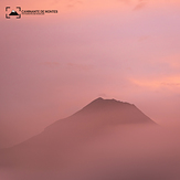
Tungurahua entre la neblina
Tungurahua
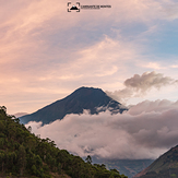
Atardecer en el Tungurahua
 Like us
 Follow us
