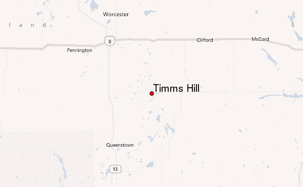
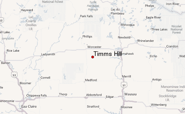
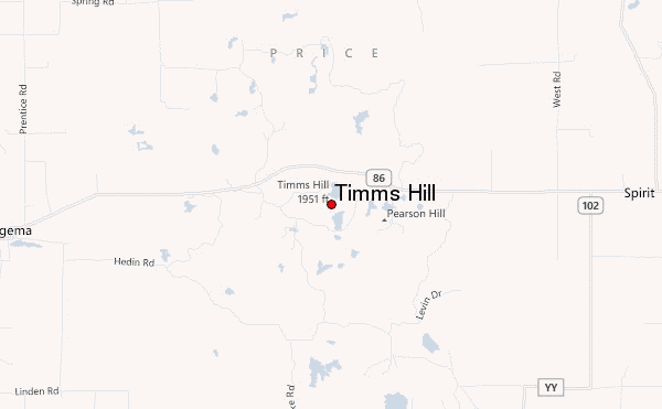
– Lat/Long: 45.45° N 90.20° W
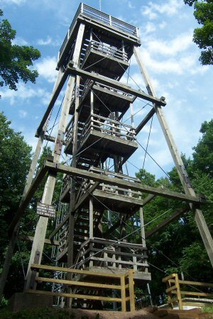
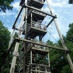
 Timms Hill – Climbing, Hiking & Mountaineering information
Timms Hill – Climbing, Hiking & Mountaineering information
Timms Hill mountain guide
- Elevation: 595 m
- Difficulty: Walk up
- Best months to climb: June, July, August
- Convenient center: Wausau
Timms Hill Climbing NotesBe the first to submit your climbing note! Please submit any useful information about climbing Timms Hill that may be useful to other climbers. Consider things such as access and accommodation at the base of Timms Hill, as well as the logistics of climbing to the summit. |
| Select a
mountain summit from the menu |
||
|
Select a Mountain Summit
|
||
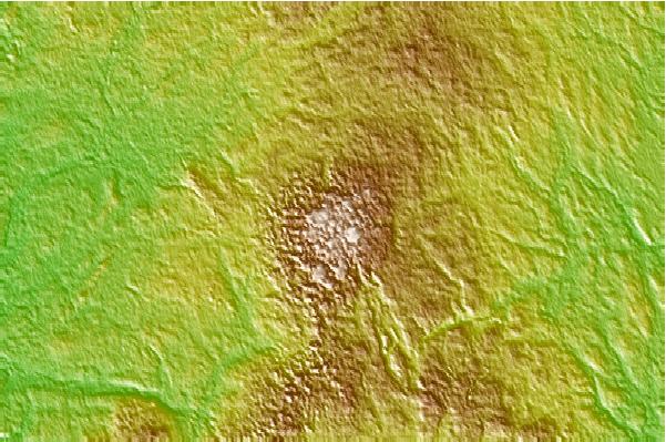
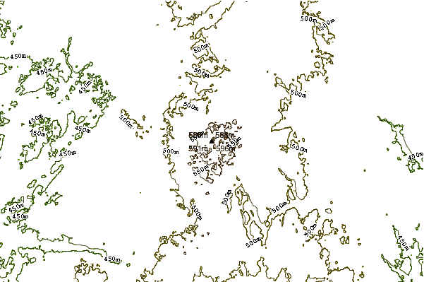
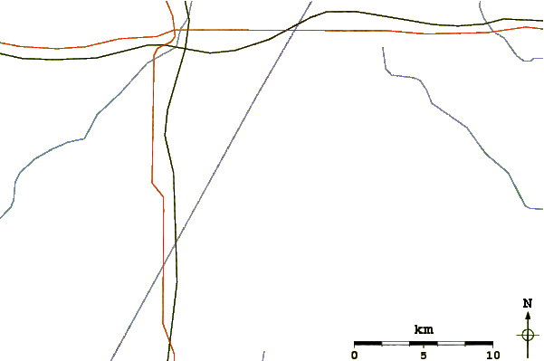
Use this relief map to navigate to mountain peaks in the area of Timms Hill.
10 other mountain peaks closest to Timms Hill:
| 1. | Rib Mountain (586 m) | 70.8 km |
| 2. | Government Peak (564 m) | 150.4 km |
| 3. | Mount Curwood (603 m) | 205.4 km |
| 4. | Bardon Peak (379 m) | 209.4 km |
| 5. | Mount Arvon (603 m) | 214.1 km |
| 6. | Carlton Peak (465 m) | 242.7 km |
| 7. | Mount Hosmer (Iowa) (317 m) | 246.0 km |
| 8. | Moose Mountain (Minnesota) (515 m) | 248.2 km |
| 9. | Eagle Mountain (714 m) | 273.7 km |
| 10. | Mount Desor (425 m) | 292.3 km |
 Like us
 Follow us
