Thabana Ntlenyana Guide
- Elevation: 3482
- Difficulty: Walk up
- Best months to climb: May, June, July, August
- Convenient center: Himeville
Thabana Ntlenyana climbers Notes
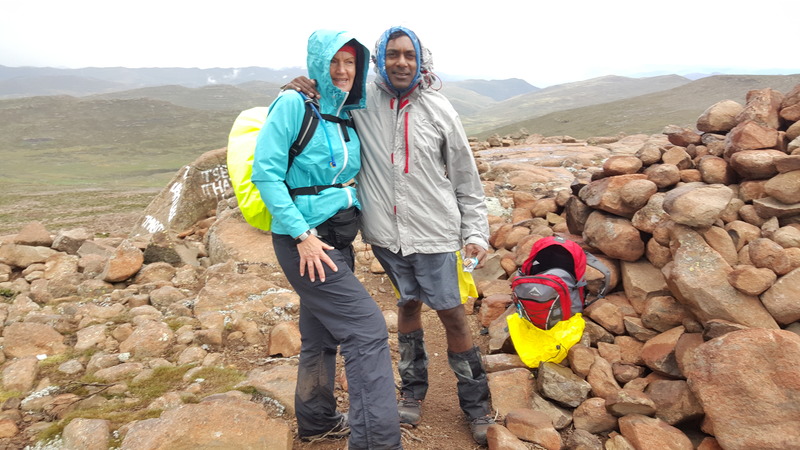
Alison Chadwick from SOUTH AFRICA writes:
Our group of 12 hikers did Thabana Ntlenyana on Saturday 4 March 2017. We slept at Sani Top Backpackers on Friday night and set off at 6am with 2 guides from the Lodge. The hike from the Lodge is 32kms there and back and took us just under 11 hours. It is not a technical hike, lovely scenery along the way – the altitude did get to a few of our party. We had bitterly cold conditions, driving rain and then full sunshine. You have about 8 river crossings, plus walk thru a lot of marsh and wetlands. Most enjoyable.
2017-03-07 |
Click here to read 3 more climbing notes for Thabana Ntlenyana or submit your own
|

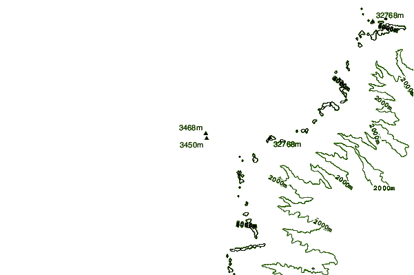
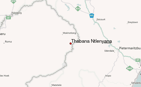
Select Thabana Ntlenyana Location Map Detail:
Use this relief map to navigate to mountain peaks in the area of Thabana Ntlenyana.
10 other mountain peaks closest to Thabana Ntlenyana:
 Thabana Ntlenyana – Climbing, Hiking & Mountaineering information

