– Lat/Long: 45.90° N 7.08° E
 Tête de Ferret – Climbing, Hiking & Mountaineering information
Tête de Ferret – Climbing, Hiking & Mountaineering information
Tête de Ferret mountain guide
- Elevation: 2714 m
- Difficulty:
- Best months to climb:
- Convenient center:
Tête de Ferret Climbing NotesBe the first to submit your climbing note! Please submit any useful information about climbing Tête de Ferret that may be useful to other climbers. Consider things such as access and accommodation at the base of Tête de Ferret, as well as the logistics of climbing to the summit. |
| Select a
mountain summit from the menu |
||
|
Select a Mountain Summit
|
||
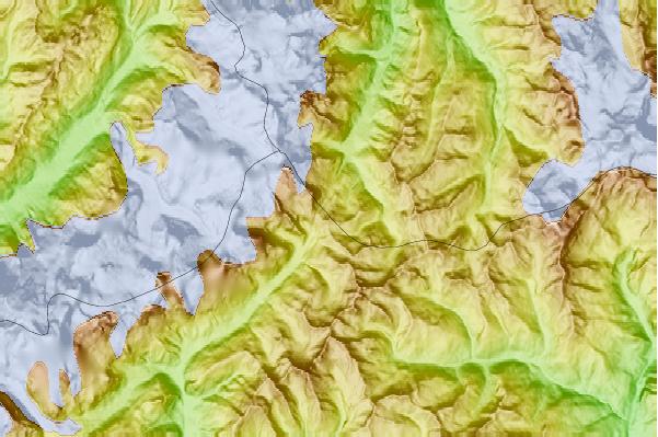

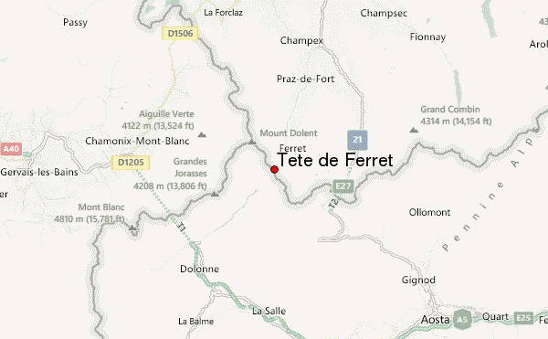
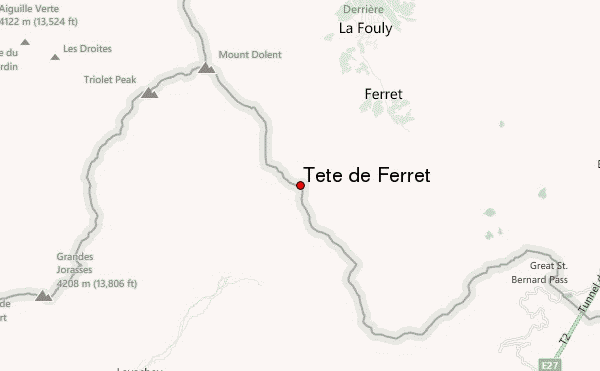
Use this relief map to navigate to mountain peaks in the area of Tête de Ferret.
10 other mountain peaks closest to Tête de Ferret:
| 1. | Pointe Allobrogia (3172 m) | 1.8 km |
| 2. | Petit Grépillon (3358 m) | 2.3 km |
| 3. | Aiguille des Angroniettes (2885 m) | 3.0 km |
| 4. | Mont Dolent (3823 m) | 4.1 km |
| 5. | Grand Golliat (3238 m) | 4.5 km |
| 6. | Aiguille de Triolet (3870 m) | 4.7 km |
| 7. | La Tsavre (2978 m) | 4.7 km |
| 8. | Monts Telliers (2951 m) | 5.3 km |
| 9. | Aiguille de Leschaux (3759 m) | 5.4 km |
| 10. | Pointe Kurz (3680 m) | 5.7 km |
 Like us
 Follow us
