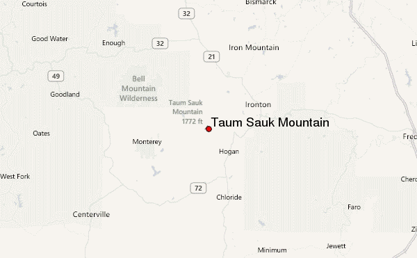
– Lat/Long: 37.57° N 90.73° W
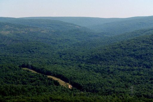
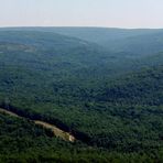
 Taum Sauk Mountain – Climbing, Hiking & Mountaineering information
Taum Sauk Mountain – Climbing, Hiking & Mountaineering information
Taum Sauk Mountain mountain guide
- Elevation: 540 m
- Difficulty:
- Best months to climb:
- Convenient center:
Taum Sauk Mountain Climbing Notes
Click here to submit your own climbing note for Taum Sauk Mountain |
| Select a
mountain summit from the menu |
||
|
Select a Mountain Summit
|
||
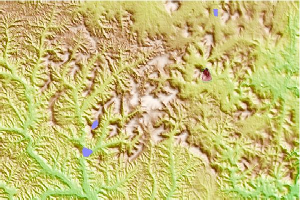
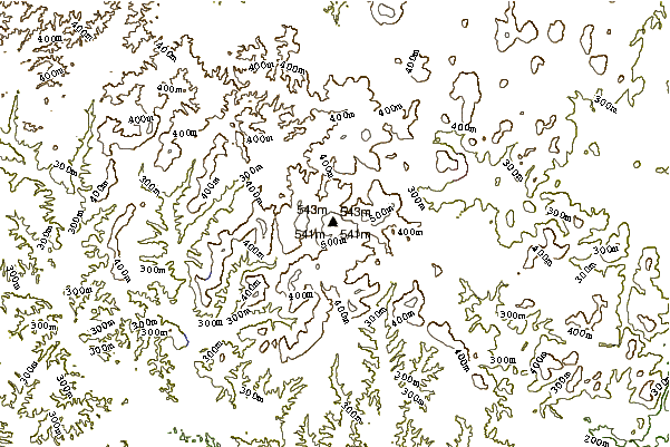

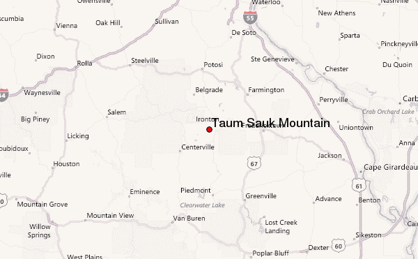
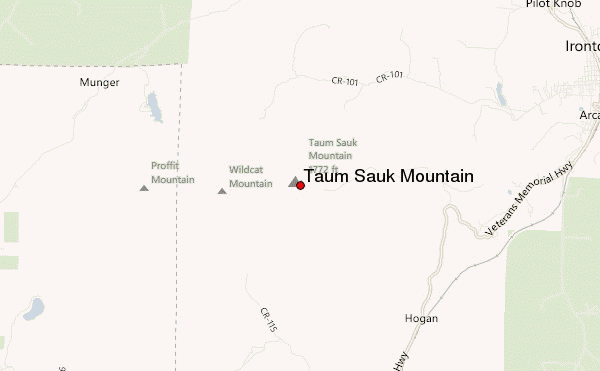
Use this relief map to navigate to mountain peaks in the area of Taum Sauk Mountain.
10 other mountain peaks closest to Taum Sauk Mountain:
| 1. | Pilot Knob (Iron County, Missouri) (448 m) | 10.5 km |
| 2. | Mount Magazine (839 m) | 373.8 km |
| 3. | Woodall Mountain (246 m) | 381.7 km |
| 4. | Weed Patch Hill (322 m) | 431.7 km |
| 5. | Black Fork Mountain (792 m) | 456.2 km |
| 6. | Capshaw Mountain (381 m) | 471.3 km |
| 7. | Wilton Mountain (775 m) | 471.8 km |
| 8. | Monte Sano Mountain (494 m) | 492.2 km |
| 9. | Turkey Mountain (Oklahoma) (245 m) | 497.9 km |
| 10. | Jeptha Knob (1188 m) | 498.0 km |
 Like us
 Follow us
