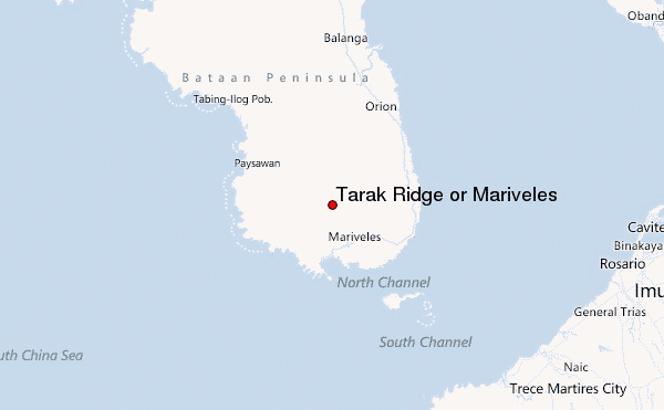
Tarak Ridge or Mariveles Guide
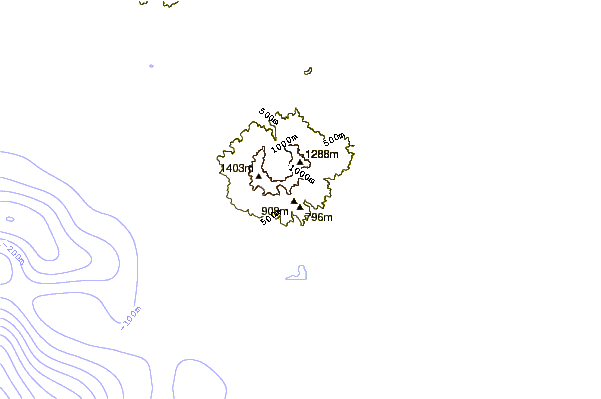
- Elevation: 1288
- Difficulty: Scramble
- Best months to climb: January, February, March, April, May, June, July, August, September, October, November, December
- Convenient center: Mariveles, Bataan
Tarak Ridge or Mariveles climbers Notes
Sherwin Basi from PHILIPPINES writes:
It would take four to six hours endurance trekking to the peak(depending on the trekker)and 3-4 hours going down. 2-3 days if there would be camping at the Papaya River or at the ridge. The trail starts by the road in Alas-asin, Mariveles, Bataan. At the Cogon hill area, there will be a fork on the trail. The left is the Panikian trail and the right is the Papaya trail which leads to Papaya river camping site(half-way). After Papaya river, steep climbing will follow for 1.5 to 2.5 hours(depending on the trekker). A climb on a grassy slope with lose rocks will follow and lead to Tarak ridge. Strong winds should be expected on the ridge but there's a base camp with trees for cover. At the ridge, you may assault the peaks which is another steep climb. The climb is on an open grassy slope. Care is a must to avoid fall to the deep sides of the ridge. Once on top, the view is very very good.
2012-07-31 |
Click here to read 1 more climbing note for Tarak Ridge or Mariveles or submit your own
|
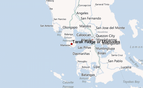
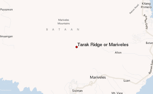
Select Tarak Ridge or Mariveles Location Map Detail:
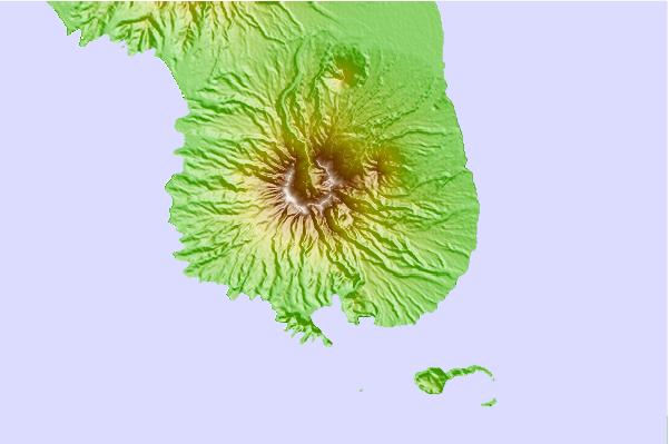
Use this relief map to navigate to mountain peaks in the area of Tarak Ridge or Mariveles.
10 other mountain peaks closest to Tarak Ridge or Mariveles:
 Tarak Ridge or Mariveles – Climbing, Hiking & Mountaineering information