– Lat/Long: 45.03° N 70.31° W
 Sugarloaf Mountain (Franklin County, Maine) – Climbing, Hiking & Mountaineering information
Sugarloaf Mountain (Franklin County, Maine) – Climbing, Hiking & Mountaineering information
Sugarloaf Mountain (Franklin County, Maine) mountain guide
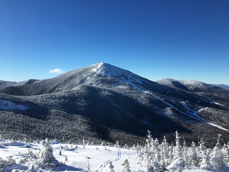
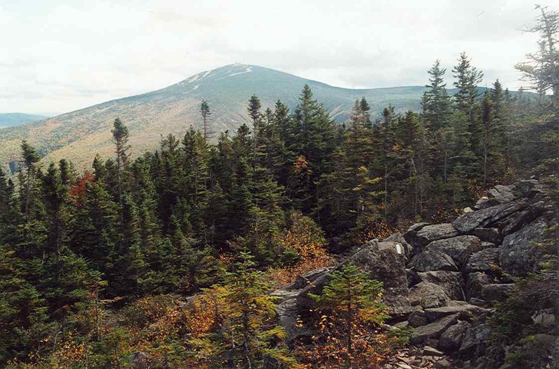
- Elevation: 1295 m
- Difficulty:
- Best months to climb:
- Convenient center:
Sugarloaf Mountain (Franklin County, Maine) Climbing Notes
Click here to submit your own climbing note for Sugarloaf Mountain (Franklin County, Maine) |
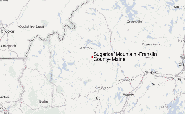
Select Sugarloaf Mountain (Franklin County, Maine) Location Map Detail:
| Select a
mountain summit from the menu |
||
|
Select a Mountain Summit
|
||
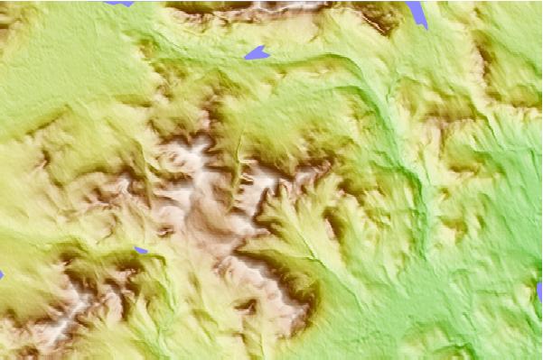
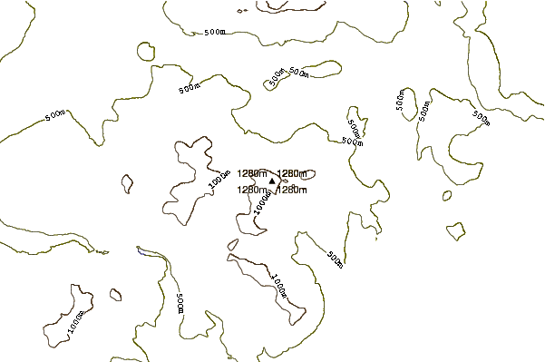
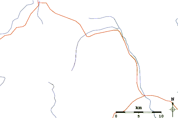
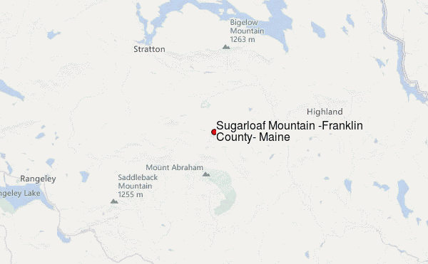
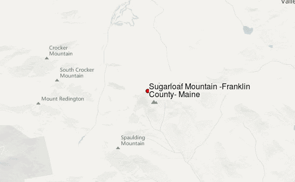
Use this relief map to navigate to mountain peaks in the area of Sugarloaf Mountain (Franklin County, Maine).
10 other mountain peaks closest to Sugarloaf Mountain (Franklin County, Maine):
| 1. | Spaulding Mountain (1222 m) | 3.5 km |
| 2. | South Crocker Mountain (1235 m) | 5.0 km |
| 3. | Crocker Mountain (Maine) (1289 m) | 5.8 km |
| 4. | Mount Redington (1222 m) | 6.0 km |
| 5. | Mount Abraham (Maine) (1234 m) | 6.5 km |
| 6. | Black Nubble (Redington Township, Maine) (1130 m) | 10.5 km |
| 7. | Mount Bigelow (Maine) (1263 m) | 13.5 km |
| 8. | Saddleback Junior (1114 m) | 14.0 km |
| 9. | Saddleback Horn (1232 m) | 16.3 km |
| 10. | Saddleback Mountain (Rangeley, Maine) (1256 m) | 18.3 km |

 Like us
 Follow us
