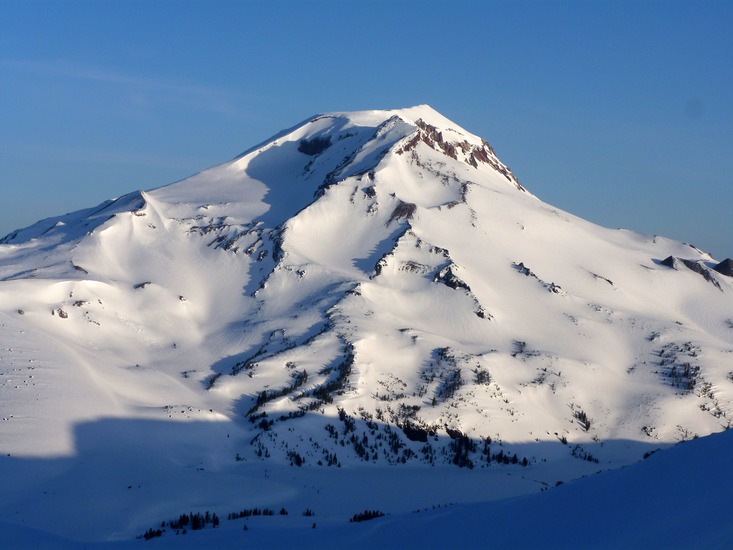
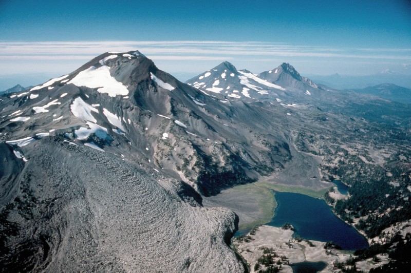
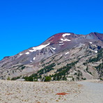
South Sister Volcano Guide
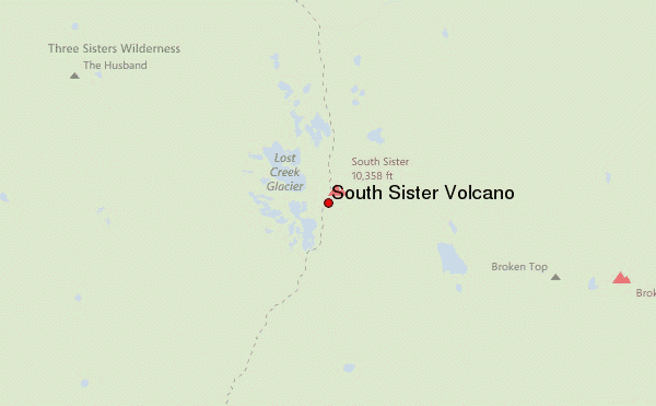
- Elevation: 3157
- Difficulty: Walk up
- Best months to climb: July, August, September
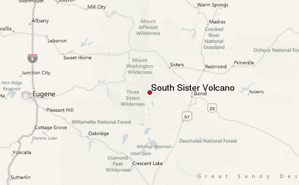
- Convenient center: Bend, Oregon
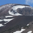
South Sister Volcano climbers Notes
Bend Hiker from UNITED STATES writes:
Saturday, November 7, 2020.
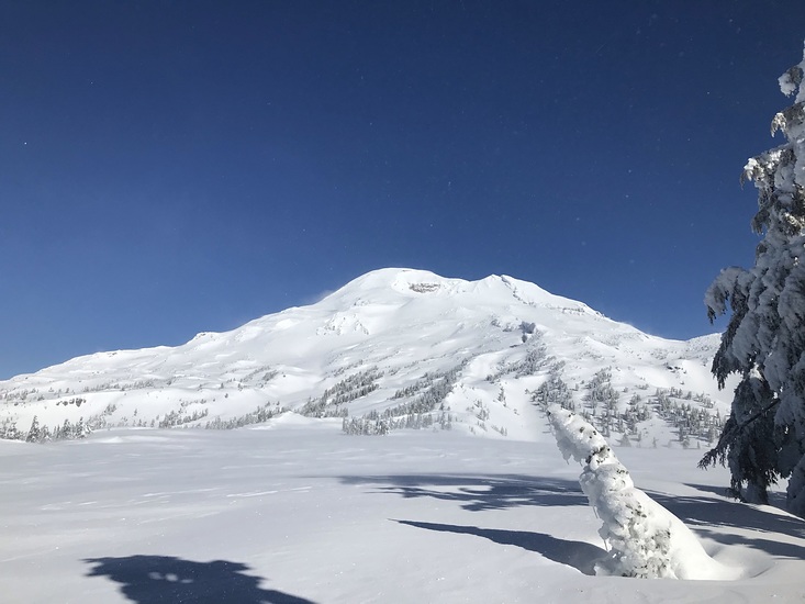
Minimal wind in the forest below the mountain (from the Devil's Lake trailhead to where it opens up above Moraine Lake).
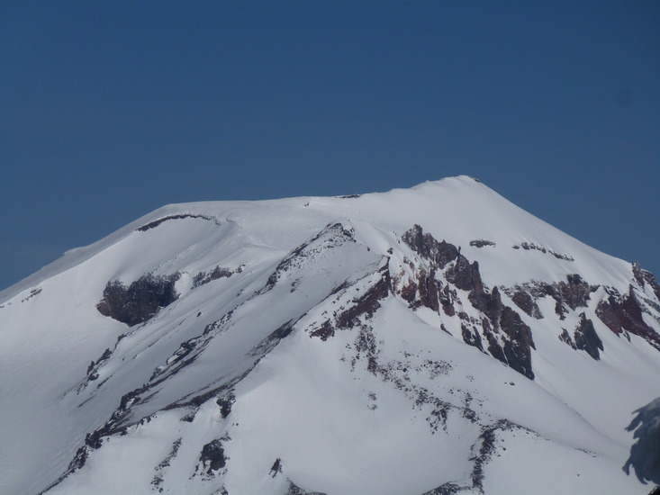
Stayed on the South Sister trail up to about halfway (3-3.5 miles) and there was snow on the ground (ranging from 3"-12").
Winds were mild early in the hike and picked up as we ascended the mountain. The speeds were estimated to be 20-30+ mph at the midway point where we turned around.
Although we did not intend to climb/summit, there were a few people (2-4) that did attempt to make it to the top. We encountered two as then were descending and they failed to make it to the top due to cold and lack of preparation (their 1st time on the mountain). 2 other hikers were towards the top based on the conversation with the other hikers.
Overall, a nice day to hike, but a little cloudy and windy after 11am PT.
2020-11-10 |
Click here to read 2 more climbing notes for South Sister Volcano or submit your own
|
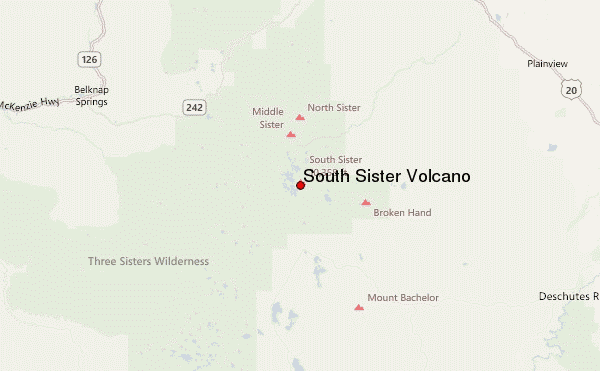
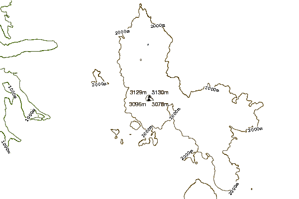
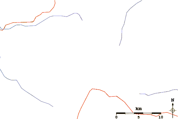
Select South Sister Volcano Location Map Detail:
Use this relief map to navigate to mountain peaks in the area of South Sister Volcano.
10 other mountain peaks closest to South Sister Volcano:
 South Sister Volcano – Climbing, Hiking & Mountaineering information


