South Mountain (New Mexico) mountain guide
- Elevation: 2664 m
- Difficulty: Walk up
- Best months to climb: January, February, March, April, May, June, July, August, September, October, November, December
- Convenient center: Edgewood
South Mountain (New Mexico) Climbing Notes
Jose Camacho from UNITED STATES writes:
I am very interested in climbing/running up South Mountain but don't know what trail to start at. I have read about the mines, private land around the mountain and about how certain parts of the mountain is used as a shooting range but I'm still willing to find a trail and climb! Does anyone know of any trail on South Mountain, Edgewood where I can accomplish this? Thanks !
Email: 1taino@msn.com
2019-06-24 |
Click here to read 4 more climbing notes for South Mountain (New Mexico) or submit your own
|

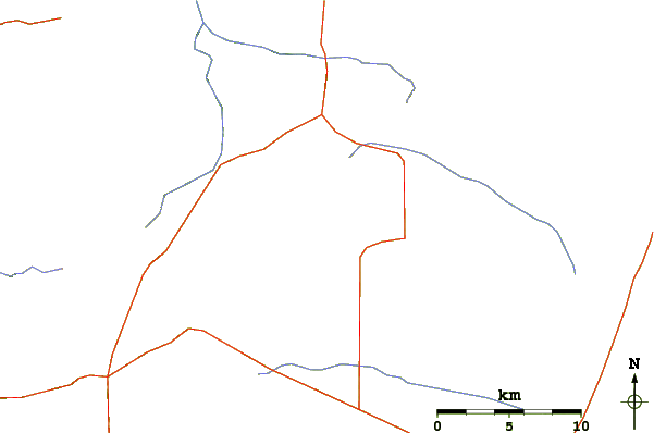
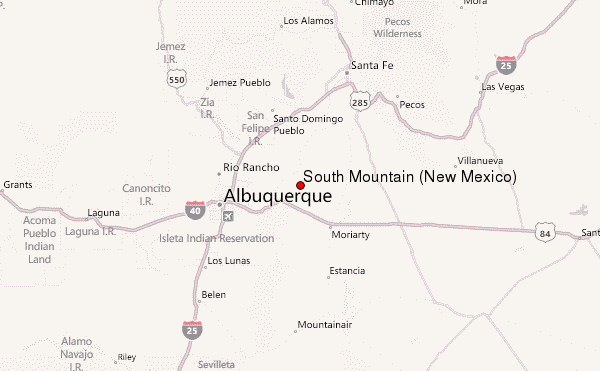
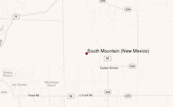
Select South Mountain (New Mexico) Location Map Detail:
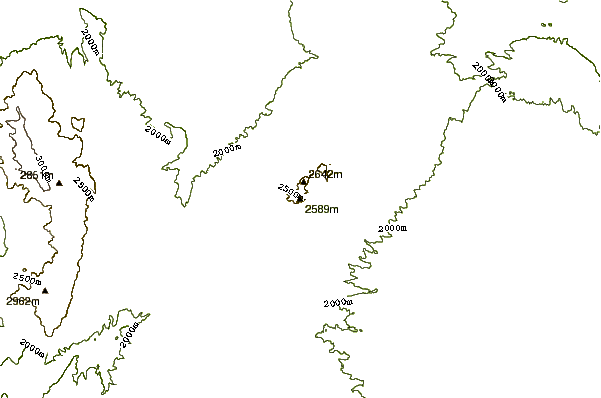
Use this relief map to navigate to mountain peaks in the area of South Mountain (New Mexico).
10 other mountain peaks closest to South Mountain (New Mexico):
 South Mountain (New Mexico) – Climbing, Hiking & Mountaineering information

 Like us
 Follow us
