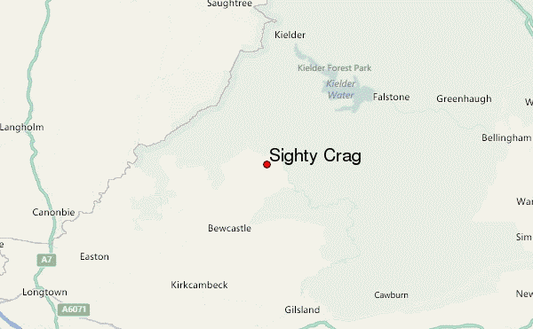
– Lat/Long: 55.12° N 2.63° W
 Sighty Crag – Climbing, Hiking & Mountaineering information

Sighty Crag Guide
- Elevation: 518
- Difficulty: -
- Best months to climb: -
- Convenient center: -
Sighty Crag climbers NotesBe the first to submit your climbers note! Please submit any useful information about climbing Sighty Crag that may be useful to other climbers. Consider things such as access and accommodation at the base of Sighty Crag, as well as the logistics of climbing to the summit. |
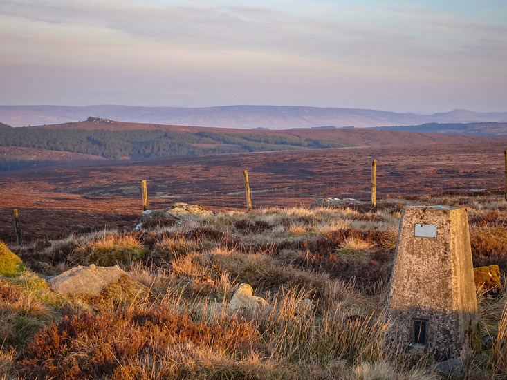
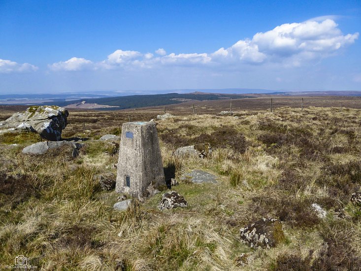
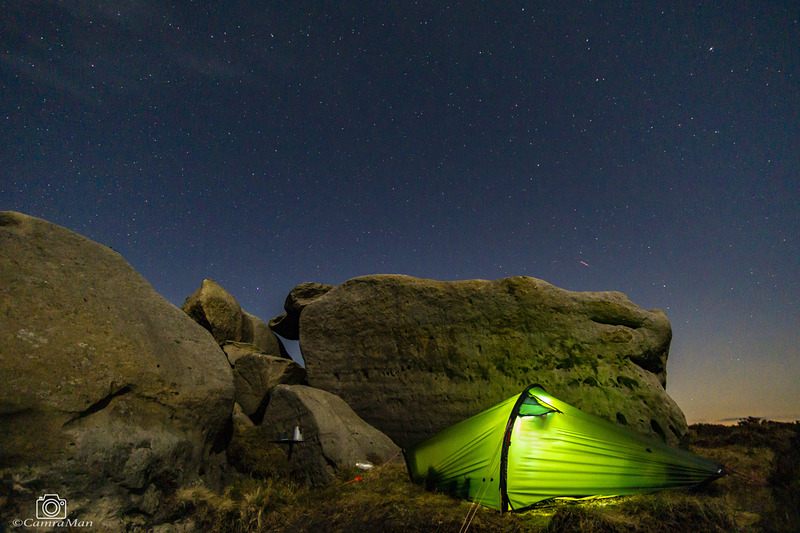
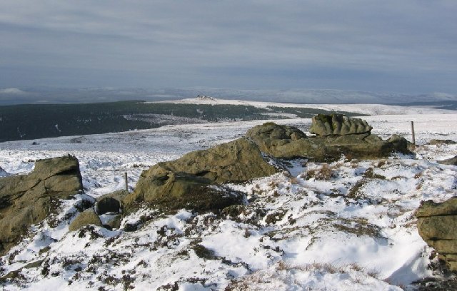
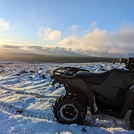
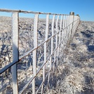
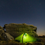
Latest Gallery Images for Sighty Crag
| Select a
mountain summit from the menu |
||
|
Select a Mountain Summit
|
||
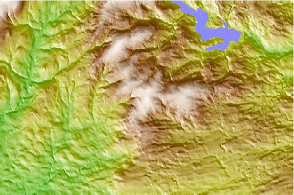
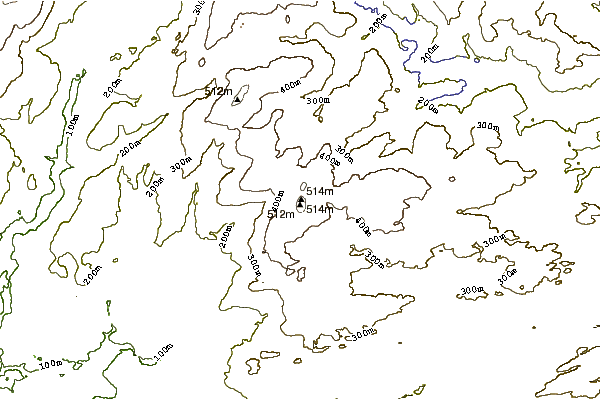
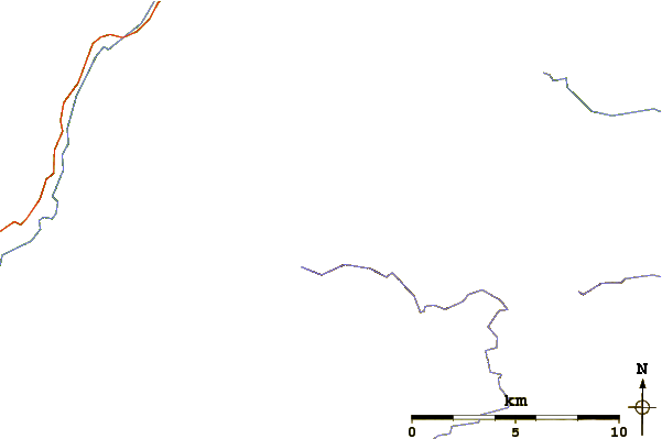
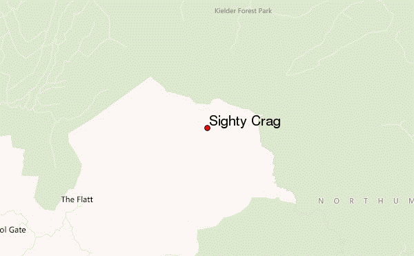
Use this relief map to navigate to mountain peaks in the area of Sighty Crag.
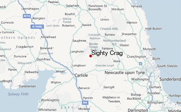
10 other mountain peaks closest to Sighty Crag:
| 1. | Kershopehead Bothy (248 m) | 7.8 km |
| 2. | Wainhope Bothy (270 m) | 13.6 km |
| 3. | Green Bothy (272 m) | 14.1 km |
| 4. | Roughside Bothy (220 m) | 14.6 km |
| 5. | Flittingford Bothy (281 m) | 17.2 km |
| 6. | Leysburnfoot (Will's Bothy) (250 m) | 18.1 km |
| 7. | Haughtongreen Bothy (248 m) | 21.0 km |
| 8. | Maiden Paps, Hawick (510 m) | 23.7 km |
| 9. | Cold Fell (Calder Bridge) (293 m) | 26.6 km |
| 10. | Spithope Bothy (340 m) | 29.8 km |