Seweweekspoortpiek mountain guide
- Elevation: 2325 m
- Difficulty:
- Best months to climb:
- Convenient center:
Seweweekspoortpiek Climbing Notes
Rudi Oberholzer from SOUTH AFRICA writes:
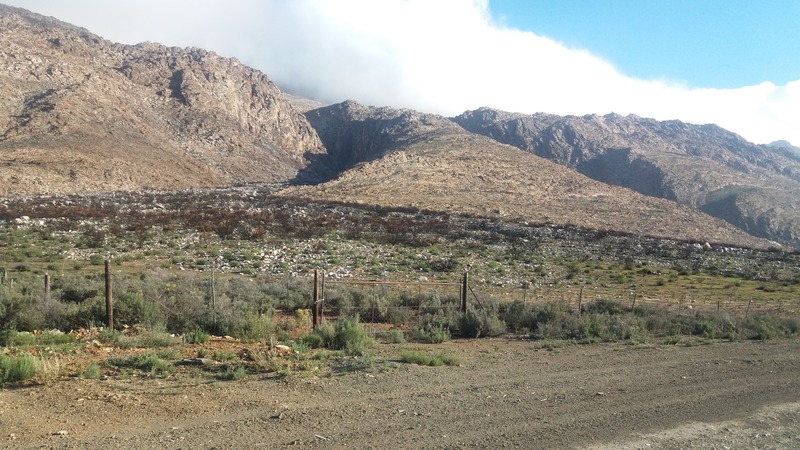
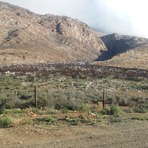
The Northern approach for Seweweekspoort starts at the gate beside the dirt road between Seweweekspoort gorge and Laingsburg. This strenuous hike takes roughly between 3 and a half to 4 hours to the top of the peak and the same time back to your vehicle. Only attempt to climb it on sunny days. Check your forecast carefully as it can change so quickly. Be prepared for extreme alpine conditions. Ice rain and strong winds can catch you quickly. Wear the right gear and make sure you stay safe. It is a beautiful mountain, but must be approached with respect. Happy climbing! Rudi
2016-09-22 |
Click here to submit your own climbing note for Seweweekspoortpiek
|

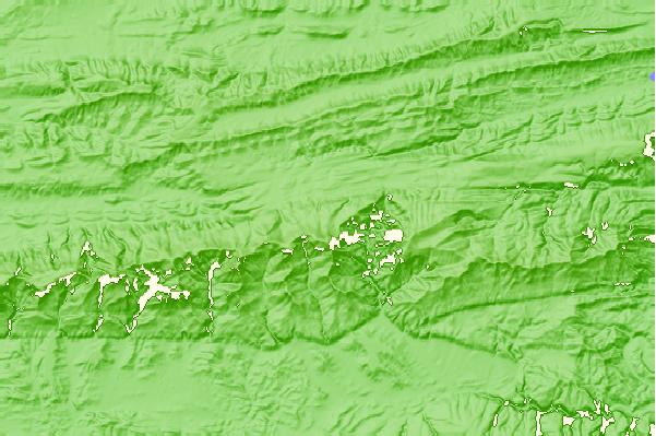
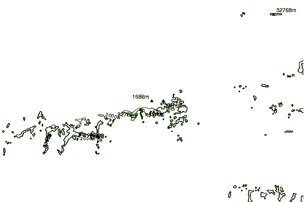
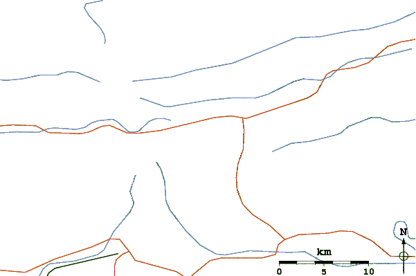
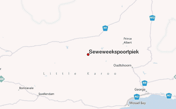
Select Seweweekspoortpiek Location Map Detail:
Use this relief map to navigate to mountain peaks in the area of Seweweekspoortpiek.
10 other mountain peaks closest to Seweweekspoortpiek:
 Seweweekspoortpiek – Climbing, Hiking & Mountaineering information
 Like us
 Follow us
