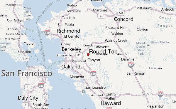
– Lat/Long: 37.85° N 122.19° W
 Round Top – Climbing, Hiking & Mountaineering information
Round Top – Climbing, Hiking & Mountaineering information
Round Top mountain guide
- Elevation: 538 m
- Difficulty:
- Best months to climb:
- Convenient center:
Round Top Climbing NotesBe the first to submit your climbing note! Please submit any useful information about climbing Round Top that may be useful to other climbers. Consider things such as access and accommodation at the base of Round Top, as well as the logistics of climbing to the summit. |
| Select a
mountain summit from the menu |
||
|
Select a Mountain Summit
|
||
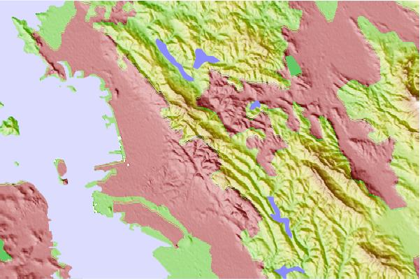
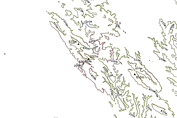
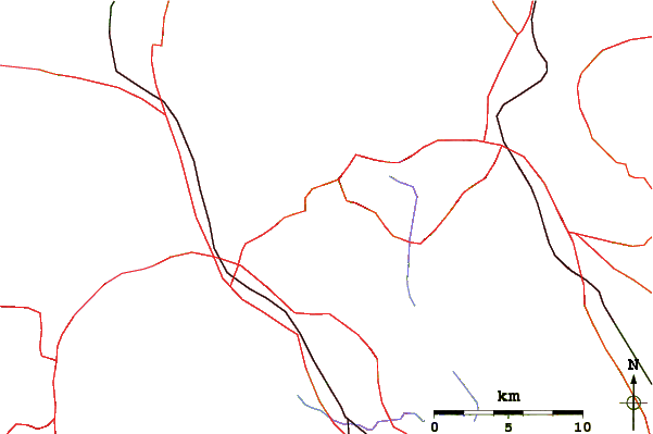
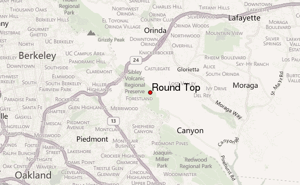
Use this relief map to navigate to mountain peaks in the area of Round Top.
10 other mountain peaks closest to Round Top:
| 1. | Grizzly Peak (Berkeley Hills) (536 m) | 5.1 km |
| 2. | William Rust Summit (306 m) | 12.1 km |
| 3. | Bernal Heights Summit (145 m) | 22.9 km |
| 4. | Mount Diablo (1173 m) | 24.2 km |
| 5. | Twin Peaks (San Francisco, California) (281 m) | 24.9 km |
| 6. | Mount Sutro (277 m) | 25.4 km |
| 7. | Mount Davidson, San Francisco, California (283 m) | 26.2 km |
| 8. | Edgehill Mountain (224 m) | 26.3 km |
| 9. | Ring Mountain (California) (184 m) | 26.6 km |
| 10. | San Bruno Mountain (402 m) | 28.0 km |
 Like us
 Follow us
