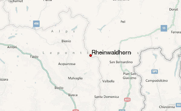
– Lat/Long: 46.48° N 9.05° E
 Rheinwaldhorn – Climbing, Hiking & Mountaineering information
Rheinwaldhorn – Climbing, Hiking & Mountaineering information
Rheinwaldhorn mountain guide

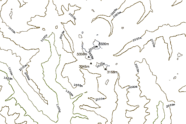
- Elevation: 3402 m
- Difficulty: Basic Snow and Ice Climb
- Best months to climb: August, September
- Convenient center: Hinterrhein, Olivone, Vals
Rheinwaldhorn Climbing NotesBe the first to submit your climbing note! Please submit any useful information about climbing Rheinwaldhorn that may be useful to other climbers. Consider things such as access and accommodation at the base of Rheinwaldhorn, as well as the logistics of climbing to the summit. |
| Select a
mountain summit from the menu |
||
|
Select a Mountain Summit
|
||
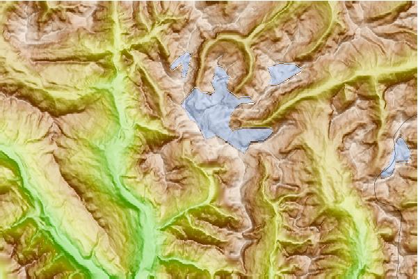
Use this relief map to navigate to mountain peaks in the area of Rheinwaldhorn.
10 other mountain peaks closest to Rheinwaldhorn:
| 1. | Vogelberg (3218 m) | 1.3 km |
| 2. | Puntone dei Fraciòn (3202 m) | 3.0 km |
| 3. | Güferhorn (3379 m) | 3.5 km |
| 4. | Cima di Gana Bianca (2842 m) | 4.6 km |
| 5. | Zapporthorn (3152 m) | 4.8 km |
| 6. | Höhberghorn (3005 m) | 5.1 km |
| 7. | Cima Rossa (3161 m) | 5.2 km |
| 8. | Cima di Piancabella (2670 m) | 5.5 km |
| 9. | Pizzo di Cassimoi (3129 m) | 5.7 km |
| 10. | Furggeltihorn (3043 m) | 5.8 km |

 Like us
 Follow us
