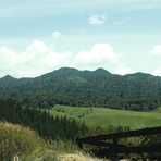
Pirongia Mountain mountain guide
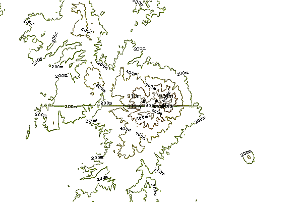
- Elevation: 969 m
- Difficulty:
- Best months to climb:
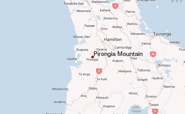
- Convenient center: Te Awamutu
Pirongia Mountain Climbing Notes
Jack Fraser from NEW ZEALAND writes:
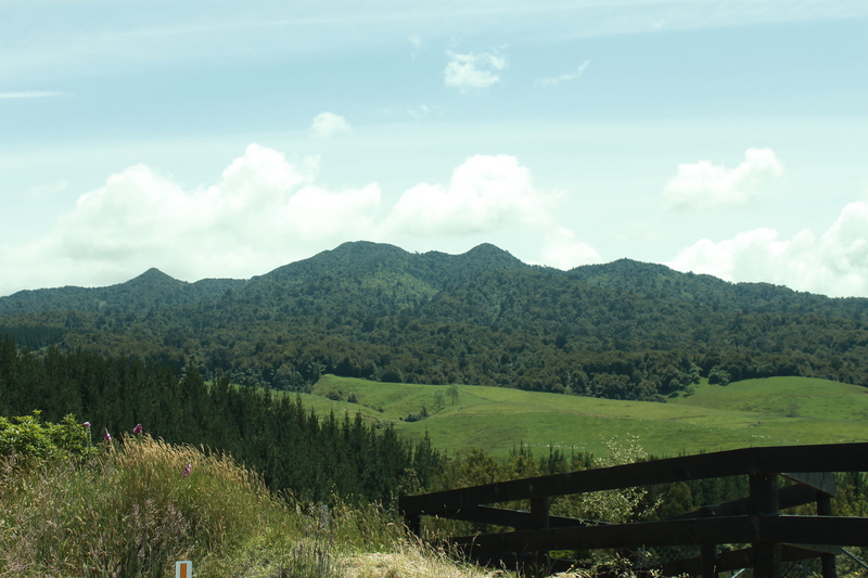
Climbing Mount Pirongia is quite hard. It is best to do it in the summer time ( December-March)because it snows in winter (just lightly). Going from Waite road (Te Pahu) is one of the easiest climbing routes. You would be up and down in less then six hours. It is wise to take more then one drink bottle for yourself because when I went up, I ran out of water before I reached the top! It is also necessary to take a packed lunch.
2013-07-20 |
Click here to submit your own climbing note for Pirongia Mountain
|
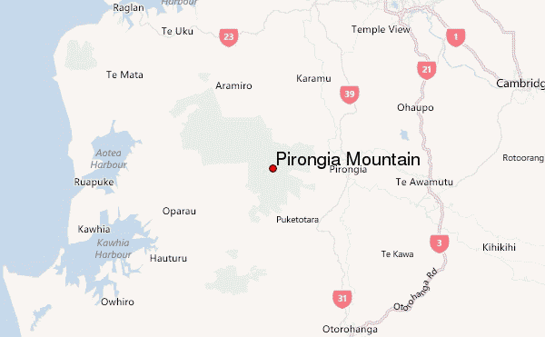
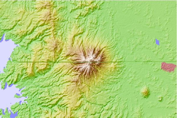
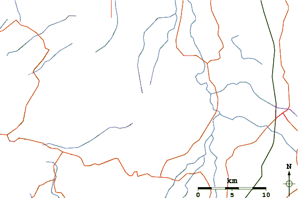
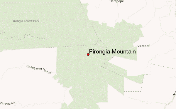
Select Pirongia Mountain Location Map Detail:
Use this relief map to navigate to mountain peaks in the area of Pirongia Mountain.
10 other mountain peaks closest to Pirongia Mountain:
 Pirongia Mountain – Climbing, Hiking & Mountaineering information
 Like us
 Follow us
