– Lat/Long: 51.49° N 116.10° W
 Pika Peak – Climbing, Hiking & Mountaineering information
Pika Peak – Climbing, Hiking & Mountaineering information
Pika Peak mountain guide
- Elevation: 3053 m
- Difficulty:
- Best months to climb:
- Convenient center:
Pika Peak Climbing NotesBe the first to submit your climbing note! Please submit any useful information about climbing Pika Peak that may be useful to other climbers. Consider things such as access and accommodation at the base of Pika Peak, as well as the logistics of climbing to the summit. |
| Select a
mountain summit from the menu |
||
|
Select a Mountain Summit
|
||
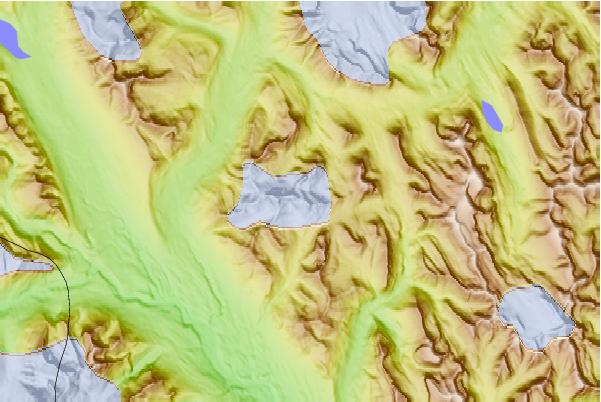
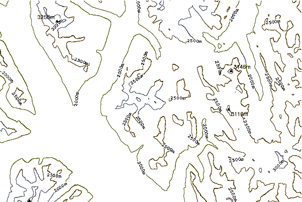
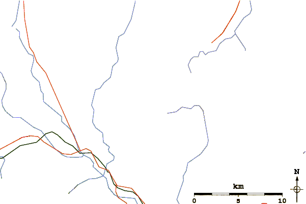
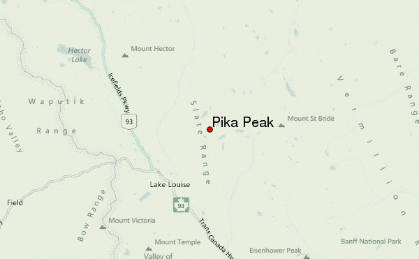
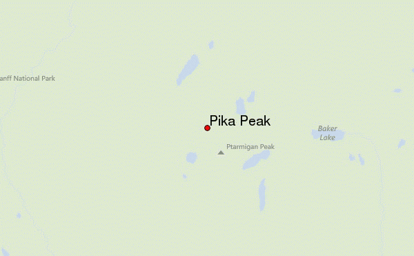
Use this relief map to navigate to mountain peaks in the area of Pika Peak.
10 other mountain peaks closest to Pika Peak:
| 1. | Ptarmigan Peak (Alberta) (3035 m) | 0.8 km |
| 2. | Mount Richardson (Alberta) (3086 m) | 1.5 km |
| 3. | Redoubt Mountain (2902 m) | 3.3 km |
| 4. | Whitehorn Mountain (2621 m) | 4.0 km |
| 5. | Fossil Mountain (Alberta) (2946 m) | 4.1 km |
| 6. | Heather Ridge (2636 m) | 4.6 km |
| 7. | Brachiopod Mountain (2667 m) | 4.8 km |
| 8. | Skoki Mountain (2707 m) | 5.0 km |
| 9. | Mount Ishbel (2908 m) | 6.7 km |
| 10. | Anthozoan Mountain (2695 m) | 6.7 km |
 Like us
 Follow us
