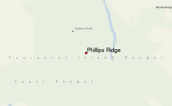
– Lat/Long: 49.60° N 125.68° W
 Phillips Ridge – Climbing, Hiking & Mountaineering information
Phillips Ridge – Climbing, Hiking & Mountaineering information
Phillips Ridge mountain guide
- Elevation: 1730 m
- Difficulty:
- Best months to climb:
- Convenient center:
Phillips Ridge Climbing NotesBe the first to submit your climbing note! Please submit any useful information about climbing Phillips Ridge that may be useful to other climbers. Consider things such as access and accommodation at the base of Phillips Ridge, as well as the logistics of climbing to the summit. |
| Select a
mountain summit from the menu |
||
|
Select a Mountain Summit
|
||
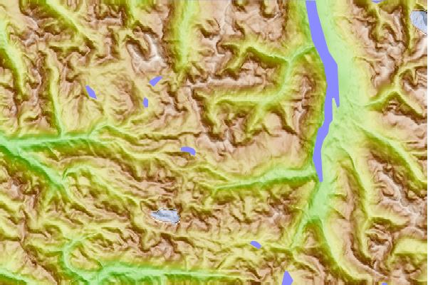
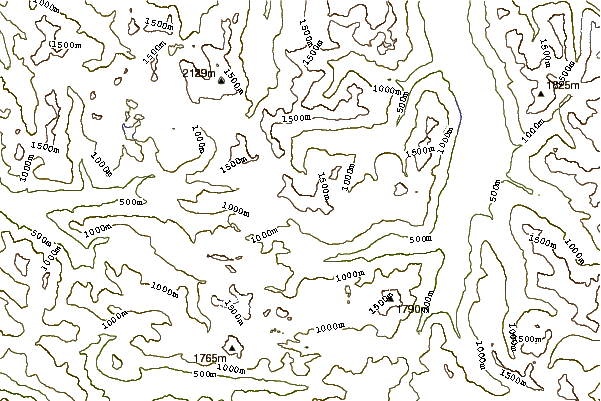
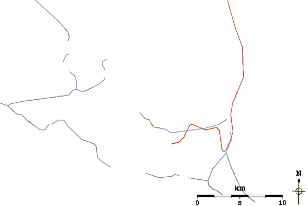
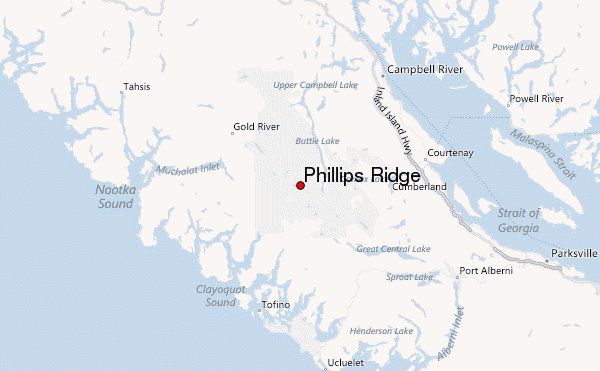
Use this relief map to navigate to mountain peaks in the area of Phillips Ridge.
10 other mountain peaks closest to Phillips Ridge:
| 1. | Mount Burman (1754 m) | 4.7 km |
| 2. | Mount Thelwood (1742 m) | 7.5 km |
| 3. | Golden Hinde (2195 m) | 7.7 km |
| 4. | Mount Phillips (Vancouver Island) (1722 m) | 7.8 km |
| 5. | Mount Myra (1803 m) | 8.0 km |
| 6. | Moyeha Mountain (1791 m) | 9.8 km |
| 7. | The Behinde (2018 m) | 9.9 km |
| 8. | Marble Peak (British Columbia) (1761 m) | 12.0 km |
| 9. | Mount Tom Taylor (1789 m) | 13.7 km |
| 10. | Mount DeVoe (1737 m) | 13.9 km |
 Like us
 Follow us
