Mt Hagen mountain guide
- Elevation: 3790 m
- Difficulty: Walk up
- Best months to climb:
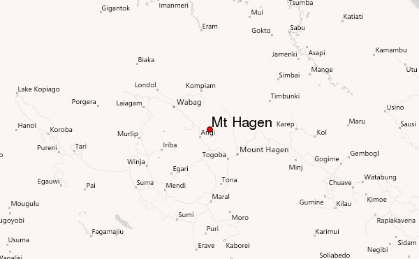
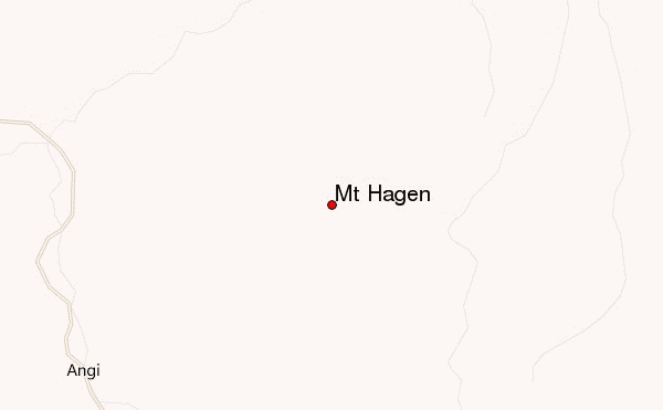
- Convenient center: Mt.Hagen City
Mt Hagen Climbing Notes
Chris Gabriel from PAPUA NEW GUINEA writes:
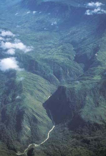
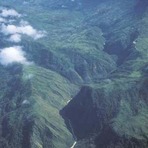
Mountain Hagen is about 3400 meters above seas level is Papua New Guinea's best mountain compared to other mountains like Mt Wilhelm.
It is an old shield volcano with vast alpine grasslands. Ancient lava plugs form the two summits, which offer superb views over the Highlands. In this itinerary you will trek through different forest vegetation, see wildlife of all species including bird of paradise, possums, three kangaroo and native orchids to name a few. This is an exciting and demanding trek is that is fully recommended for active people with some hiking experience.
2017-06-22 |
Click here to submit your own climbing note for Mt Hagen
|
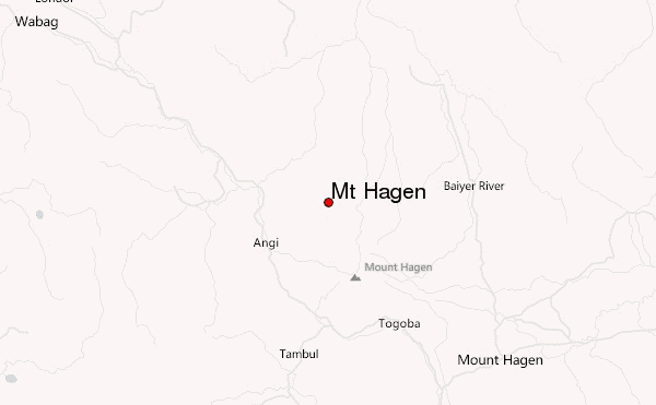
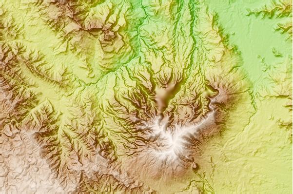
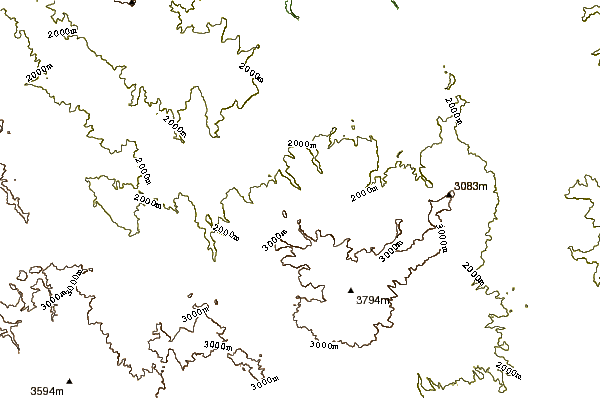
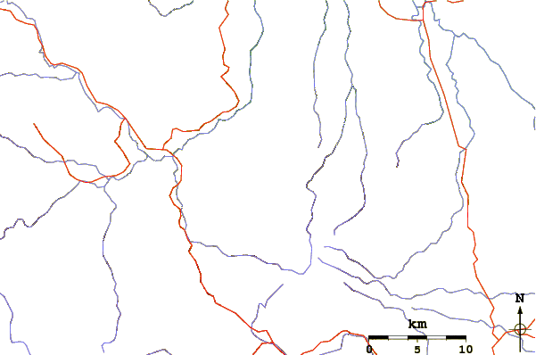
Select Mt Hagen Location Map Detail:
Use this relief map to navigate to mountain peaks in the area of Mt Hagen.
10 other mountain peaks closest to Mt Hagen:
 Mt Hagen – Climbing, Hiking & Mountaineering information
 Like us
 Follow us
