– Lat/Long: 51.35° N 116.22° W
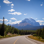
 Mount Temple – Climbing, Hiking & Mountaineering information

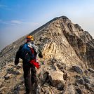
Mount Temple Guide
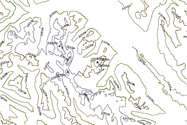
- Elevation: 3544
- Difficulty: Scramble
- Best months to climb: Summer
- Convenient center: Lake Louise, Alberta
Mount Temple climbers NotesBe the first to submit your climbers note! Please submit any useful information about climbing Mount Temple that may be useful to other climbers. Consider things such as access and accommodation at the base of Mount Temple, as well as the logistics of climbing to the summit. |
| Select a
mountain summit from the menu |
||
|
Select a Mountain Summit
|
||
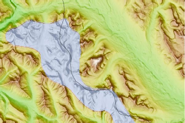
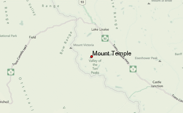
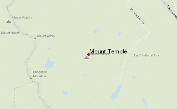
Use this relief map to navigate to mountain peaks in the area of Mount Temple.
10 other mountain peaks closest to Mount Temple:
| 1. | Saddle Peak (2437 m) | 1.9 km |
| 2. | Mount Lefroy (3420 m) | 2.1 km |
| 3. | Tower of Babel (2221 m) | 4.3 km |
| 4. | Eiffel Peak (3084 m) | 4.4 km |
| 5. | Glacier Peak (Canadian Rockies) (3302 m) | 4.7 km |
| 6. | Wenkchemna Peak (3206 m) | 4.8 km |
| 7. | Ringrose Peak (3292 m) | 4.9 km |
| 8. | Mount Hungabee (3492 m) | 5.0 km |
| 9. | Mount Tuzo (3248 m) | 5.4 km |
| 10. | Neptuak Mountain (3241 m) | 5.5 km |