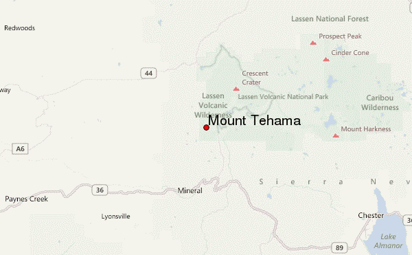
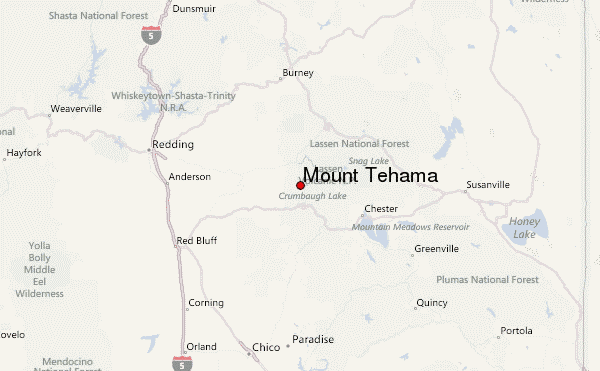
– Lat/Long: 40.44° N 121.56° W
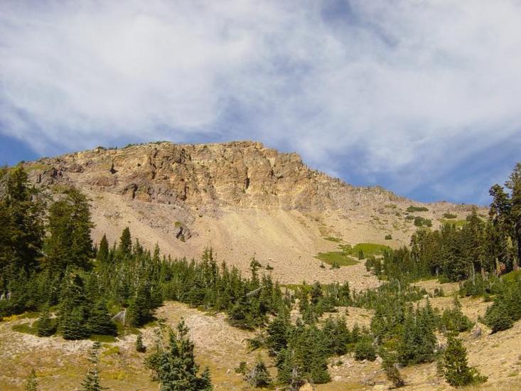
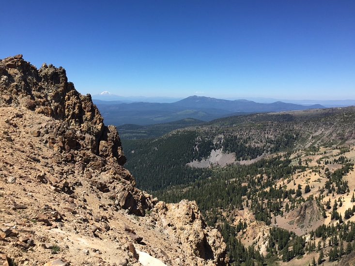
 Mount Tehama – Climbing, Hiking & Mountaineering information
Mount Tehama – Climbing, Hiking & Mountaineering information
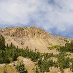
Mount Tehama mountain guide
- Elevation: 2815 m
- Difficulty:
- Best months to climb:
- Convenient center:
Mount Tehama Climbing Notes
Click here to read 2 more climbing notes for Mount Tehama or submit your own |
| Select a
mountain summit from the menu |
||
|
Select a Mountain Summit
|
||
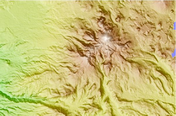
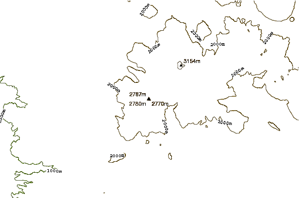
Use this relief map to navigate to mountain peaks in the area of Mount Tehama.
10 other mountain peaks closest to Mount Tehama:
| 1. | Bumpass Mountain (2668 m) | 5.4 km |
| 2. | Lassen Peak (3187 m) | 6.8 km |
| 3. | Chaos Crags (2592 m) | 9.4 km |
| 4. | Cinder Cone and the Fantastic Lava Beds (2105 m) | 23.2 km |
| 5. | Potato Butte (1532 m) | 23.3 km |
| 6. | Tumble Buttes (2191 m) | 26.2 km |
| 7. | Twin Buttes (1631 m) | 37.4 km |
| 8. | Lost Lake Ridge (2170 m) | 37.8 km |
| 9. | Big Cave (1259 m) | 59.1 km |
| 10. | Mount Big Cave (1259 m) | 59.1 km |
 Like us
 Follow us
