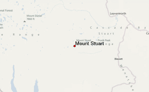
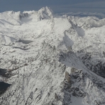
Mount Stuart mountain guide
- Elevation: 2869 m
- Difficulty: Technical Climb
- Best months to climb: June, July, August
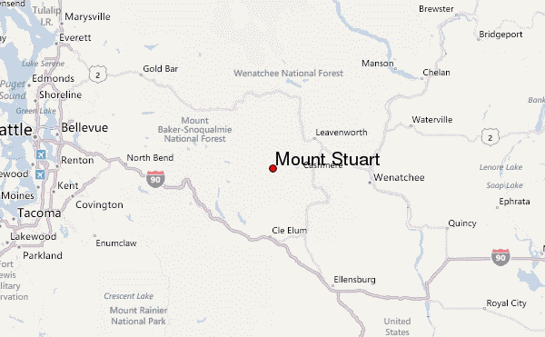
- Convenient center: Leavenworth, Washington
Mount Stuart Climbing Notes
Bill Mickel from UNITED STATES writes:
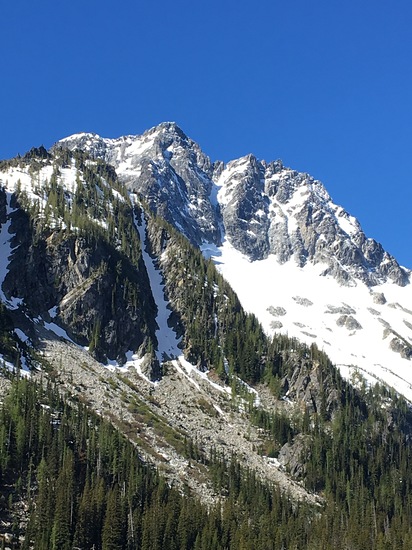
Ulrich's Couloir
This is a great route. It's an alternative to the West Ridge or Cascadian Couloir. There are no loose dirt gullies on this route. It is mainly class II/III with one short class V pitch at the 3/4 pinch point.
From Longs Pass, descend to Ingall's Creek. At the trail junction, go left (W) for about 1/3 mile. Look for a prominent creek on the right, sometimes marked with a cairn. Proceed up creek (a bit brushy to begin) and make your way left out of the creek as soon as practical. Continue directly up keeping the creek on your right for about 1000' through mixed terrain. When it gets steep, move left until you find a prominent gully to ascend. Proceed up, then right to enter Ulrich's. Move up and right through Ulrich's on solid blocky terrain until you reach an awkward pinch point in the gully. Climb directly up through this obstacle. Easy class V for 20'. Glad to be wearing approach shoes here. In fact for the entire route. Continue directly to the main summit from here, veering right when forced to choose. Descend via Cascadian.
My time from Longs Pass to summit is about 5 hrs. I found water on the route, even in September. On my three ascents I've never seen another person (or cairn).
2023-01-18 |
Click here to submit your own climbing note for Mount Stuart
|
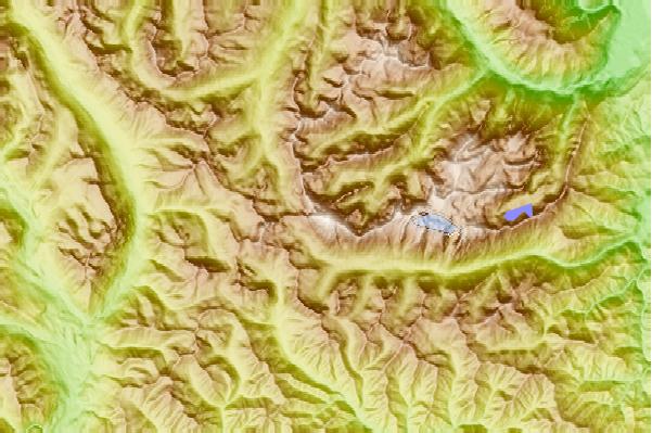
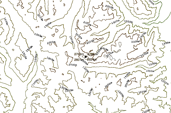
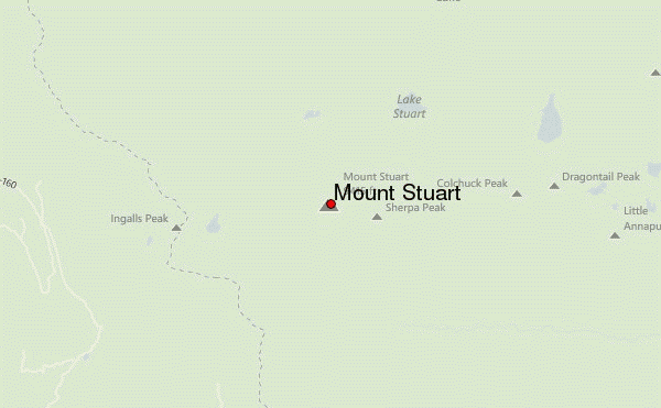
Select Mount Stuart Location Map Detail:
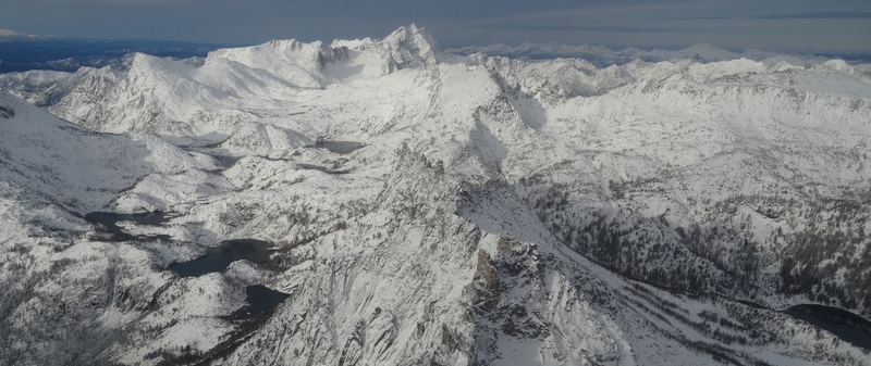
Use this relief map to navigate to mountain peaks in the area of Mount Stuart.
10 other mountain peaks closest to Mount Stuart:
 Mount Stuart – Climbing, Hiking & Mountaineering information
 Like us
 Follow us
