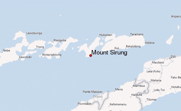
Mount Sirung mountain guide
- Elevation: 862 m
- Difficulty:
- Best months to climb:
- Convenient center:
Mount Sirung Climbing Notes
Christine Flamboyant from BELGIUM writes:
Mt. Sirung is one of the most fascinating volcanoes in Indonesia. The hike to the crater rim is an easy 5 hours' walk-up, mainly through beautiful eucalypt savannah. The starting point of the trek is the village of Beang.
wwwDOTbeangDOTwebsDOTcom
Accommodation is going to be established in Beang soon. For the time being, you can stay at the house of the mayor, John. John will be happy to put you up for a couple of days.
2011-08-31 |
Click here to read 1 more climbing note for Mount Sirung or submit your own
|

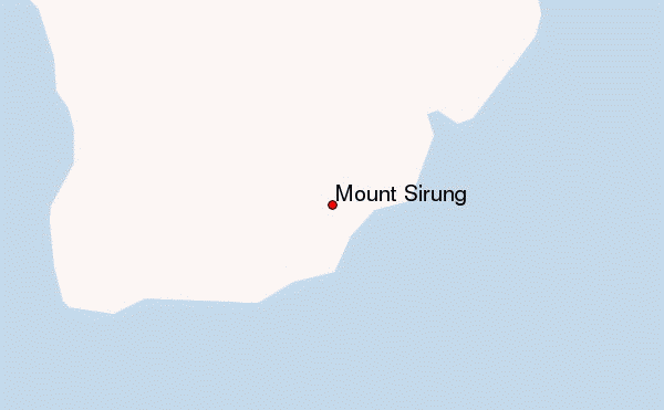
Select Mount Sirung Location Map Detail:
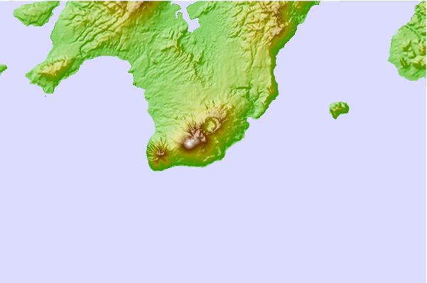
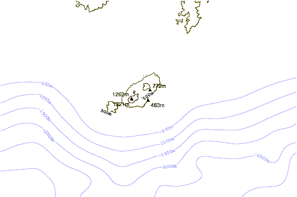
Use this relief map to navigate to mountain peaks in the area of Mount Sirung.
10 other mountain peaks closest to Mount Sirung:
 Mount Sirung – Climbing, Hiking & Mountaineering information
 Like us
 Follow us
